
Search
Search Results

Image
18th-century Mughal Miniature Quran
A miniature Qur'an in vellum binding. Mughal Empire, 18th century. (Victoria and Albert Museum, London)

Image
Grave Stele of a Couple, 5th Century BCE
Greek grave stele depicting a couple greeting each other, affectionately taking one hand in the other. This grave stele came from the Kerameikos in Athens and is dated to the 5th Century BCE. It is now housed in the Minneapolis Institute...

Image
20th-Century Sepoy
An early-20th-century painting by Major A.C. Lovett of a sepoy in the British Indian Army. (From The Armies of India, 1911)
Image
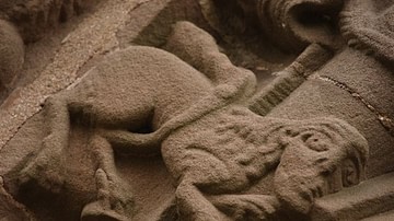
Manticore at the Church of St Mary and St David, Kilpeck, Herefordshire (12th century)
Kilpeck church stone carvings: Manticore. Dating to the 12th century and found at the Church of St Mary and St David in Herefordshire, England.

Image
Detail of a 6th-century Elephant Mosaic
Detail of a 6th-century mosaic floor that used to decorate the pavement of the peristyle court of the Palatium Magnum, the Great Palace of Constantinople. The Great Palace Mosaic Museum houses mosaics from the Byzantine period, unearthed...
Image
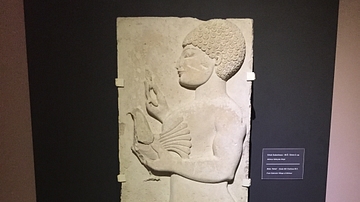
Lydian Relief: 5th Century BCE
This relief of a male holding a bird is from the 5th century BCE, found in modern day western Turkey near the ancient city of Thyatira. Thyatira was named such by Seleucos I Nicator around 290 BCE but prior to that it was an important city...

Image
19th-Century Christmas Card
A late-19th century Christmas card showing a robin and snow scene. The border is perforated to resemble lace. (Victoria and Albert Museum, London) Orignal source note on usage: 'V&A Owned Content' in which the V&A owns copyright (or related...

Image
Hydria (4th century BCE)
The hydria, as its name indicates, was used almost exclusively for carrying water (Greek hydor), essential for everyday cleansing, ritual purifications and libations. 4th-century BCE. Made from bronze. (Hellenic Museum, Melbourne, Victoria)
Image
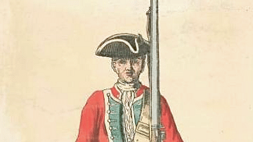
Mid-18th Century British Infantryman
An illustration of a mid-18th century British infantryman. 39th Regiment, 1742.
Image
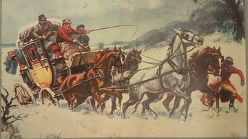
19th-Century Coach Caught in Snow
A picture of a 19th-century coach caught in the snow. From a tin produced by Excelvit. (Private Collection)
