
Browse Content
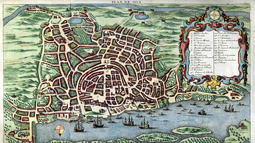
Image
Map of Goa, c. 1750
A c. 1750 map of Portuguese Goa in India, capital of the Estado da India or Portuguese empire in the East.

Image
Map of the Islamic Conquests in the 7th-9th Centuries
This map illustrates the rise and rapid expansion of Islam from the time of the Prophet Muhammad...

Image
Map of Cochin
A 1635 map of Portuguese Cochin on the southwest coast of India. Cochin (modern Kochi) was a major hub of the spice trade and was...

Image Gallery
A Gallery of Historical Maps
This gallery of 30 maps traces the history of cartography, with examples of maps made by cultures from the Paleolithic...
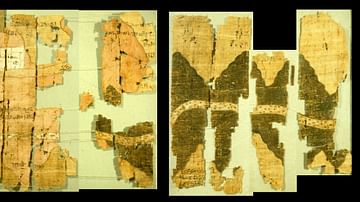
Image
Turin Papyrus Map
The Turin Papyrus Map is an ancient Egyptian map of gold mines in the Eastern Desert. It is considered to be one of the oldest...

Image
Babylonian Clay Map from Nippur
A Babylonian cuneiform tablet with a map of the fields, towns and palaces around Nippur. Kassite Period, 1550-1450...
