
Browse Content

Image
Portuguese Macao Map
A map showing the location of Portuguese Macao, a colony of the Portuguese Empire from c. 1557 to 1999. Macao is now a part...
Image
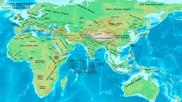
The Eastern Hemisphere, 100 BC
A map showing the major empires, kingdoms, tribes, and ethnic groups of the Eastern Hemisphere in 100 BC.

Image
Traditional Scythian-Occupied Region East of Ukraine
A map of the traditional areas inhabited by the Scythians, stretching east from the Ukraine.
Image
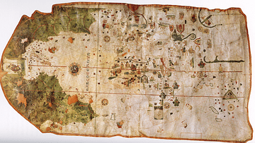
Map of the World by Juan de la Cosa
A map of the world drawn by Juan de la Cosa (c. 1450-1510). Made in 1500 on leather-backed parchment. (National...

Image
Map of the Migration Period in Europe in the 4th-5th Century
The Migration Period in Europe (c. 4th–6th centuries CE) marks a prolonged era of movement...
Image
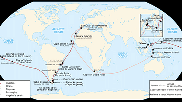
Map of Ferdinand Magellan's Circumnavigation
A map of the 1519-22 circumnavigation - the first in history - made by the expedition led by the Portuguese...
