
Browse Content
Image
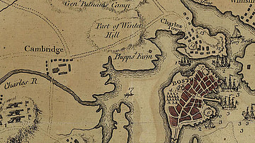
Map of Boston, 1775
A map of Boston and the surrounding country in 1775, during the time of the Battles of Lexington and Concord and the Battle...
Image
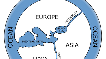
Anaximander World Map
The Greek philosopher Anaximander of Miletus (l. c. 610 to c. 546 BCE) is credited with having drawn the first map of the...

Image
Map of the Hellenic Leagues and Hegemonies, 4th century BCE
The political landscape of the Hellenic world shifted dramatically in the aftermath of the...
Image
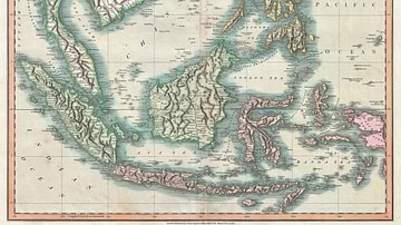
Map of the East Indies and Southeast Asia
An 1801 map of the East Indies and Southeast Asia ( Singapore, Borneo, Sumatra, Java, Philippines).

Image
Dutch East India Company Trading Regions
Map of East India, taken from the Atlas van der Hagen, Koninklijke Bibliotheek, The Hague Part 4. This map...

Image
North America in the French and Indian War 1754–1763 - A Colonial War and the Roots of American Revolution
This map illustrates the course and key developments of...
