


Dividing the National Map, lithograph on wove paper, c. 1860.
Here, a cartoon parodies the four candidates in the US presidential election of 1860 — Abraham Lincoln, Stephen A. Douglas, John C. Breckinridge, and John Bell — as they take their piece of the literal (and metaphorical) political map.
Library of Congress, Washington, D.C.
Related Images

John C. Breckinridge

Abraham Lincoln, June 1860

Abraham Lincoln, February 1860

Map of the U.S. Presidential Election of 1800

Lincoln & Johnson Election Ticket, 1864
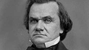
Stephen A. Douglas
Cite This Work
APA Style
Artist, U. (2026, September 04). Dividing the National Map: The Four-Way Race of the 1860 Presidential Election. World History Encyclopedia. https://www.worldhistory.org/image/22108/dividing-the-national-map/
Chicago Style
Artist, Unknown. "Dividing the National Map: The Four-Way Race of the 1860 Presidential Election." World History Encyclopedia, September 04, 2026. https://www.worldhistory.org/image/22108/dividing-the-national-map/.
MLA Style
Artist, Unknown. "Dividing the National Map: The Four-Way Race of the 1860 Presidential Election." World History Encyclopedia, 04 Sep 2026, https://www.worldhistory.org/image/22108/dividing-the-national-map/.
