


This antique map of Italy shows the department of Sesia under the First French Empire. It was created in the early 19th century by French geographer Pierre-Gilles Chanlaire and is part of the Atlas National de France. The map reflects the administrative organization implemented during the Napoleonic occupation of northern Italy.
Related Images

Map of Napoleonic Europe at its Greatest Extent - Rise and Fall of the French Imperial System, 1804–1815
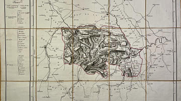
Map of the Marengo Department

Map of the Pô Department
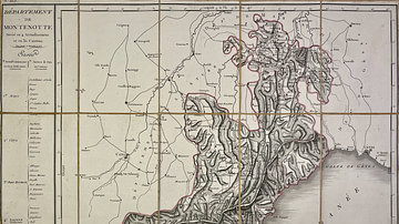
Map of the Montenotte Department
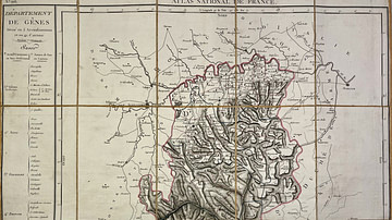
Map of the Genoa Department
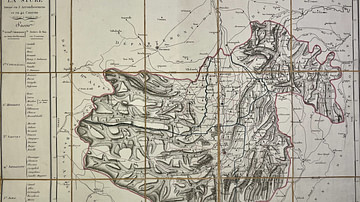
Map of the Stura Department
Cite This Work
APA Style
Chanlaire, P. (2025, May 27). Map of the Sesia Department. World History Encyclopedia. https://www.worldhistory.org/image/20492/map-of-the-sesia-department/
Chicago Style
Chanlaire, Pierre-Gilles. "Map of the Sesia Department." World History Encyclopedia, May 27, 2025. https://www.worldhistory.org/image/20492/map-of-the-sesia-department/.
MLA Style
Chanlaire, Pierre-Gilles. "Map of the Sesia Department." World History Encyclopedia, 27 May 2025, https://www.worldhistory.org/image/20492/map-of-the-sesia-department/.
