


A map of Erie Canal c. 1840. The canal, constructed between 1817 and 1825, stretches 363 miles (584 km) from the Hudson River at Albany, New York, to Lake Erie at Buffalo, New York.
Related Images

Map of the Suez Canal at its Opening, c. 1869 - Engineering, Empire, and the Remaking of Global Trade
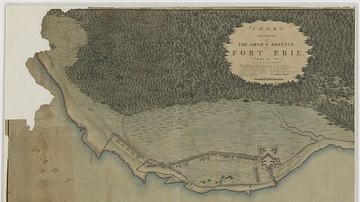
Siege and Defence of Fort Erie

Map of the Silk Road During the Late 8th Century

Map of Odysseus’ 10-year Journey Home

Map of Europe on the Eve of WWII, 1939

Map of Ancient Egypt
Cite This Work
APA Style
Author, U. (2025, February 19). Map of Erie Canal. World History Encyclopedia. https://www.worldhistory.org/image/20055/map-of-erie-canal/
Chicago Style
Author, Unknown. "Map of Erie Canal." World History Encyclopedia, February 19, 2025. https://www.worldhistory.org/image/20055/map-of-erie-canal/.
MLA Style
Author, Unknown. "Map of Erie Canal." World History Encyclopedia, 19 Feb 2025, https://www.worldhistory.org/image/20055/map-of-erie-canal/.