


Map of the East Coast from the River Thames to Edinburgh, from Great Britain's Coasting Pilot,ink on paper by Greenville Collins, c. 1682-1694. Probably drafted in 1682 but not published until 1693, this chart is the first to show with accuracy the distance between the Leman and Ower sandbanks and the mainland.
©Antiqua Print Gallery/Alamy
Related Images

Swahili Coast Map

Map of Niger River
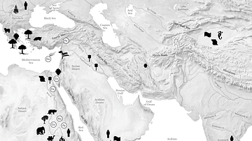
Resource Map of the Ancient Middle East

Map of the East India Company Trade, c.1800
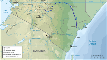
Map of Kenya with Tana River Indicated
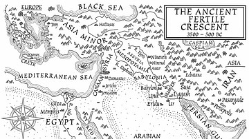
A Map of the Ancient Fertile Crescent (From the Novel The Jericho River)
Cite This Work
APA Style
Gallery/Alamy, A. P. (2023, January 11). Map of the East Coast from the River Thames to Edinburgh. World History Encyclopedia. https://www.worldhistory.org/image/16878/map-of-the-east-coast-from-the-river-thames-to-edi/
Chicago Style
Gallery/Alamy, Antiqua Print. "Map of the East Coast from the River Thames to Edinburgh." World History Encyclopedia, January 11, 2023. https://www.worldhistory.org/image/16878/map-of-the-east-coast-from-the-river-thames-to-edi/.
MLA Style
Gallery/Alamy, Antiqua Print. "Map of the East Coast from the River Thames to Edinburgh." World History Encyclopedia, 11 Jan 2023, https://www.worldhistory.org/image/16878/map-of-the-east-coast-from-the-river-thames-to-edi/.