
Server Costs Fundraiser 2026


A map in German of central Europe during the time of the Hohenstaufen Emperors, primarily showing the territories of the Holy Roman Empire and the Kingdom of Sicily. The map is a vectorised version of this map from Professor G. Droysens Allgemeiner Historischer Handatlas, which was published in 1886 CE. Yellow: Imperial and Hohenstaufen territory. Purple: Ecclesiastical territories (Papal States, territory of the Teutonic Order, Prince-(Arch)bishoprics and abbeys).
Related Images
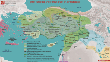
Map of the Hittite Empire 16th-13th Century BCE - Anatolian Great Power of the Bronze Age
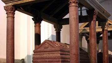
Tomb of Holy Roman Emperor Frederick II
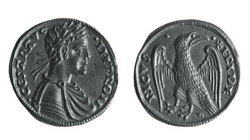
Coin of Holy Roman Emperor Frederick II

13th Century CE Roll of Arms

The Electors of the Holy Roman Empire

Quaternion Eagle of the Holy Roman Empire
Cite This Work
APA Style
Alphathon. (2020, May 13). Holy Roman Empire in the 13th century CE. World History Encyclopedia. https://www.worldhistory.org/image/12234/holy-roman-empire-in-the-13th-century-ce/
Chicago Style
Alphathon. "Holy Roman Empire in the 13th century CE." World History Encyclopedia, May 13, 2020. https://www.worldhistory.org/image/12234/holy-roman-empire-in-the-13th-century-ce/.
MLA Style
Alphathon. "Holy Roman Empire in the 13th century CE." World History Encyclopedia, 13 May 2020, https://www.worldhistory.org/image/12234/holy-roman-empire-in-the-13th-century-ce/.