


Geopolitical climate in the Eastern Mediterranean before the conquest of Constantinople in 1453 CE.
Related Images

Map of Europe Before the Fall of Constantinople, c. 1450

Map of the New Kingdom of Egypt, 1450 BCE
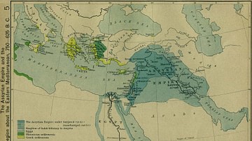
The Assyrian Empire and the Region about the Eastern Mediterranean, 750-625 BC

Mycenean Greece and the Orient about 1450 BC

Map of the Trade Networks of the Ancient Mediterranean World - Connectivity & Expansion in the Archaic and Classical Ages

Map of Trade Networks of the Late Bronze Age Mediterranean - Empires, Merchants, and Maritime Routes of the Ancient World
Cite This Work
APA Style
MapMaster. (2020, May 11). Map of Eastern Mediterranean in 1450 CE. World History Encyclopedia. https://www.worldhistory.org/image/12215/map-of-eastern-mediterranean-in-1450-ce/
Chicago Style
MapMaster. "Map of Eastern Mediterranean in 1450 CE." World History Encyclopedia, May 11, 2020. https://www.worldhistory.org/image/12215/map-of-eastern-mediterranean-in-1450-ce/.
MLA Style
MapMaster. "Map of Eastern Mediterranean in 1450 CE." World History Encyclopedia, 11 May 2020, https://www.worldhistory.org/image/12215/map-of-eastern-mediterranean-in-1450-ce/.