
Server Costs Fundraiser 2026


A map indicating the approximate territory of the ancient Kingdom of Zimbabwe (in modern Zimbabwe) and its capital Great Zimbabwe. The kingdom flourished between c. 1300 and c. 1450 CE.
Related Images

Map of the Bosporan Kingdom, c.100 CE - Gateway Between Steppe, Caucasus, and Rome

Map of the Macedonian Kingdom at Philip II's Death c.336 BCE - Legacy and the Road to Imperial Expansion

Map of the Ptolemaic Kingdom of Egypt c. 240 BCE - Power, Wealth, and Rivalry in the Hellenistic World
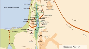
Map of the Nabatean Kingdom

Map of the Middle Kingdom of Egypt, c. 2000 BCE

Map of Kingdom of Axum
Cite This Work
APA Style
Museum, T. B. (2019, March 14). Map of the Kingdom of Zimbabwe. World History Encyclopedia. https://www.worldhistory.org/image/10179/map-of-the-kingdom-of-zimbabwe/
Chicago Style
Museum, The British. "Map of the Kingdom of Zimbabwe." World History Encyclopedia, March 14, 2019. https://www.worldhistory.org/image/10179/map-of-the-kingdom-of-zimbabwe/.
MLA Style
Museum, The British. "Map of the Kingdom of Zimbabwe." World History Encyclopedia, 14 Mar 2019, https://www.worldhistory.org/image/10179/map-of-the-kingdom-of-zimbabwe/.