
Search
Remove Ads
Advertisement
Search Results
Image
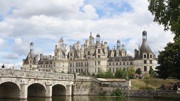
Chateau de Chambord & Cosson River
Chateau de Chambord, Loir-et-Cher, France. The chateau was built between 1519 and 1547 CE on the banks of the Cosson River, a tributary of the Loire.
Image
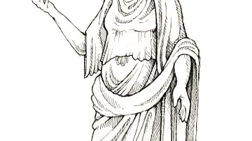
Ancient Roman noblewoman (From the Novel "The Jericho River")
An illustration by Maia Kobabe showing an ancient Roman noblewoman.
From the novel The Jericho River by David Tollen.
Image
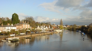
The River Dee in Chester
North Bank of the River Dee in Chester.

Image
Danube River
Danube River delta in Romania.

Image
Pit River Valley, Modoc County, California
The Pit River winds through the Modoc Plateau, once the home of the Native American Modoc nation. Photograph by Robert F. Ettner, Natural Resources Staff Officer, Siskiyou National Forest, US Forest Service...

Image
Map of the Genoa River and Military Operations - Montenotte and Mondovì, 1796
This historical map of the Genoa River was produced to support the understanding of military operations from 1792 to 1800, with particular focus on the events of Montenotte and Mondovì...

Image
Penobscot River
The Penobscot River viewed from the Penobscot Narrows Bridge Observatory at Prospect, Maine, USA, (just below Bucksport) as it empties in the Penobscot Bay (visible in the distance) at Stockton Springs, ME. Verona Island is on...
Image
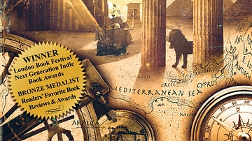
Book Cover of The Jericho River
Book Cover of the novel The Jericho River.

Image
Western European Medieval castle (From the Novel "The Jericho River")
An illustration by Maia Kobabe showing a Western European Medieval castle.
From the novel The Jericho River by David Tollen.
Image
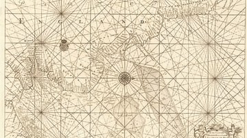
Map of the East Coast from the River Thames to Edinburgh
Map of the East Coast from the River Thames to Edinburgh, from Great Britain's Coasting Pilot,ink on paper by Greenville Collins, c. 1682-1694. Probably drafted in 1682 but not published until 1693...
