
Search
Remove Ads
Advertisement
Search Results
Image
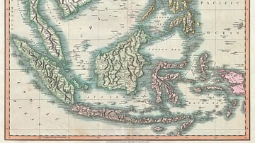
Map of the East Indies and Southeast Asia
An 1801 map of the East Indies and Southeast Asia ( Singapore, Borneo, Sumatra, Java, Philippines).
Image
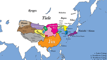
East Asia in 400 CE
This map shows all major civilizations of East Asia at the beginning of 4th century CE. Italicized texts indicate nomadic bands or tribal societies.

Image
East Asia in 500 CE
This map shows the territories of all major civilizations in East Asia in the year 500 CE. Italicized texts indicate nomadic bands or tribal societies.
Image
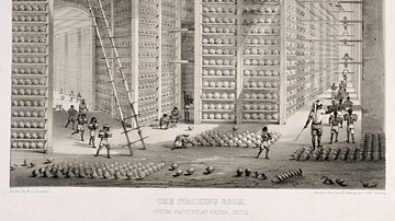
Opium Warehouse of the East India Company
A c. 1850 print showing an opium warehouse of the East India Company in Patna, India. Opium was dried into large balls and then packed into chests for transportation to China.

Image
East India Company Trooper & Sepoy
An 1839 illustration showing a trooper and sepoy (Indian recruit) of the East India Company army. 27th Regiment of Madras Native Infantry. (British Library, London)
Image
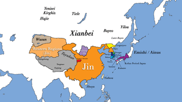
East Asia circa 300 CE
This map shows all major civilizations of East Asia at the beginning of the 3rd century CE. Italicized texts indicate nomadic bands or tribal societies.
Image
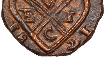
Copper Coin of the East India Company
A copper coin minted by the British East India Company (EIC). From Bombay, 1821.

Article
Slavery in Plantation Agriculture
The first plantations in the Americas of sugar cane, cocoa, tobacco, and cotton were maintained and harvested by African slaves controlled by European masters. When African slavery was largely abolished in the mid-1800s, the center of plantation...

Image
Map of East Frisia
Map of East Frisia by the Dutch Johannes Florianus (1522-1585) for the Theatrum Orbis Terrarum, one of the first accurate modern atlas, 1595.

Article
The Spice Trade & the Age of Exploration
One of the major motivating factors in the European Age of Exploration was the search for direct access to the highly lucrative Eastern spice trade. In the 15th century, spices came to Europe via the Middle East land and sea routes, and spices...
