
Search
Search Results
Image
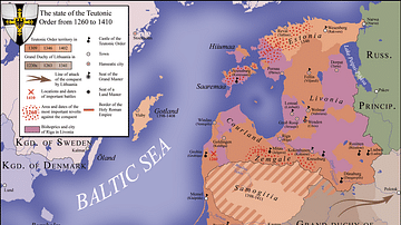
Northern Crusades, 1260-1410 CE
A map indicating the territories controlled by the Teutonic Knights military order and their Crusades against pagan Europeans in the 13th and 14th century CE.
Image
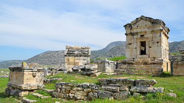
Northern Necropolis of Hierapolis, Phrygia
The northern necropolis of Hierapolis in Phrygia (modern-day Pamukkale, Turkey) with many different types of tombs. This extensive necropolis of about 1,200 tombs extends for over two kilometres (1.2 miles) from the northern to the eastern...
Image
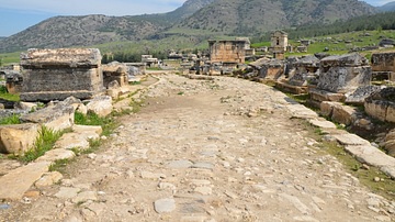
Roadway, Northern Necropolis of Hierapolis
The northern necropolis of Hierapolis in Phrygia (modern-day Pamukkale, Turkey) with many different types of tombs. This extensive necropolis of about 1,200 tombs extends for over two kilometres (1.2 miles) from the northern to the eastern...
Image
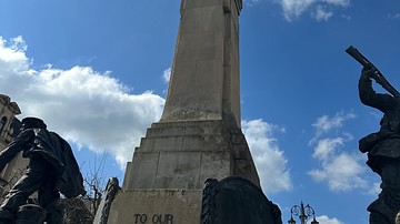
War Memorial, Derry, Northern Ireland
Memorial to those who died in World War I and World War II, Derry, Northern Ireland.
Image
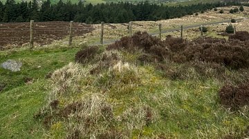
View from Slieve Gullion Mountain Pass, County Armagh, Northern Ireland
View from Slieve Gullion Mountain Pass, Country Armagh, Northern Ireland.
Image
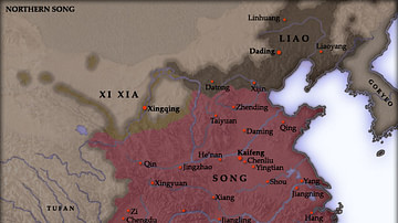
Northern Song Dynasty Map
A map indicating the territory of the Northern Song Dynasty of China, 960-1125 CE.
Image
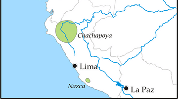
Pre-Columbian Tribes of Northern South America
A map highlighting the areas of settlement of various pre-Columbian civilizations in the northern areas of South America such as the Muisca, Tairona, and Quimbaya
Image
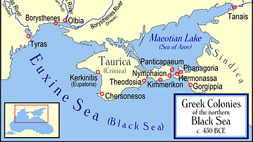
Greek Colonies of the Northern Black Sea
Map showing Ancient Greek colonies on the northern coast of the Black Sea, c. 450 BC.
Image
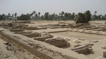
Amarna, Northern Palace
Northern Palace at Amarna. The royal family lived in apartments to the rear of the palace. The palace had no roof as a gesture of welcome to Aten.
Image
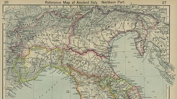
Map of Ancient Italy, Northern Part
Reference Map of Ancient Italy. Northern Part.
"Historical Atlas" by William R. Shepherd, New York, Henry Holt and Company, 1923