
Search
Remove Ads
Advertisement
Search Results

Image
Chinese Warring States, 3rd century BCE
A map showing the principle state of the Warring States Period in China c. 260 BCE.

Image
15-century CE Nautical Map
Nautical chart of the North-East Atlantic Ocean, the Baltic Sea, the Mediterranean Sea and the Black Sea, accompanied by a circular world map. Alleged author: Cristopher Columbus (l. 1451-1506 CE) Gallica Digital Library...

Image
Early-18th Century Flintlock Pistol
A flintlock pistol, c. 1700-1730. English lock and stock. (Metropolitan Museum of Art, New York)

Image
Map of Celtic Expansion - 6th-3rd century BCE
A map showing the various campagins of Celtic tribes between the 6th and 3rd centuries BCE.

Image
13th Century CE Roll of Arms
The oldest known English roll of arms, dating to c. 1244 CE. It is a single sheet painted on both sides by Mathew Paris and showing 75 coats of arms starting with the king’s. (British Library, London)

Image
19th-Century Ivory Traders, East Africa,
An 1880s photograph of ivory traders in East Africa.
Image
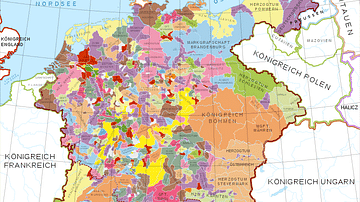
Holy Roman Empire in the 13th century CE
A map in German of central Europe during the time of the Hohenstaufen Emperors, primarily showing the territories of the Holy Roman Empire and the Kingdom of Sicily. The map is a vectorised version of this...
Image
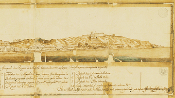
Luanda in the 18th Century
A 1755 illustration of the port of Luanda, capital of the colony of Portuguese Angola and capital of today's Angola. Luanda was one of the major points of assembly for African slaves destined for the Americas.

Image
Anglo-Saxon Clothing, 6-9th century CE
An illustration of the typical clothing worn by Anglo-Saxons in medieval England, c. 500 - c. 1000 CE. ('Costumes of all Nations', 1882 CE)
Image
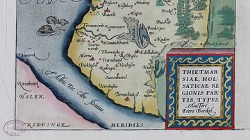
16-century Map of Dithmarshen
Dithmarschen in the Theatrum Orbis Terrarum by Abraham Ortelius, 1570
