
Browse Content

Image
Map of the Levant
This map shows the place of the Levant (highlighted in red) within the eastern Mediterranean.
Image
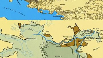
Maps of Boeotia, Lake Copais, Gla & Orchomenos
Maps of Boeotia (top) and Lake Copais (bottom). Photo © Antonia Stamos after Iakovidis, Gla and the Kopais...

Image
New England, 1665 CE
Map of New England printed by John Seller John in 1675 CE, based on William Reed's original survey of 1665 CE.
Image
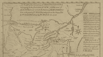
Map of the Five Nations, 1730 CE
Map of the Five Nations, 1730 CE. Darlington map collection, Archives Service Center, University Library System...
Image
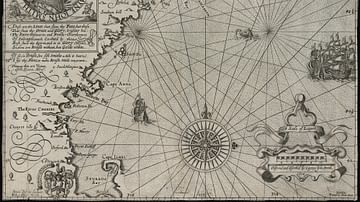
Map of New England
Map of New England by Captain John Smith Printed by Geor. Low, 1624 CE Based on Smith's 1614 CE voyage, this is the first...

Image
Map of Ancient Egypt
Map of ancient Egypt, showing the major cities and archaeological sites along the Nile River, from Abu Simbel in the south...
