Browse Content

Image
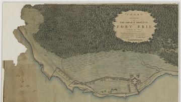
Siege and Defence of Fort Erie
Chart Illustrative of the Siege & Defence of Fort Erie. Campaign...

Image
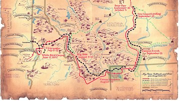
Flight of the Nez Perce and Key Battle Sites of 1877
Map of the flight of the Nez Perce toward Canada in 1877 and key...

Image
Map of the Kingdom of the Vandals (435–534 CE)
The Kingdom of the Vandals and Alans (435–534 CE) emerged as one...

Image
Map of the Roman Conquest & Rule in Gaul, c. 200 CE
This map illustrates the administrative and geopolitical situation...

Image
Map of the Origin and Spread of Buddhism
Buddhism originated in the Ganges Plain of Magadha (modern Bihar...

Image
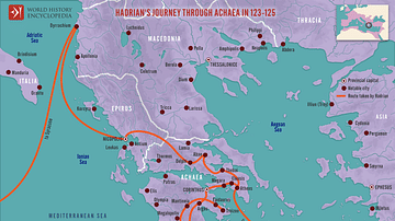
Hadrian's Journey through Achaea, 123-125
This map illustrates the Roman Emperor Hadrian’s journey through...