Search Maps
Latest Maps

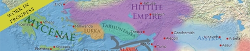
Image
Map of the Norman World, c. 1130 - From Viking Settlers to a Trans-Mediterranean Networks
The Norman world (c. 10th–13th centuries CE) was not a single unified...

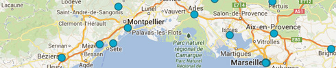
Image
Map of the Taifa Kingdoms of Iberia, 1031–1086 - Al-Andalus between Córdoba and the Almoravids
The first taifa period followed the collapse of Umayyad authority in...

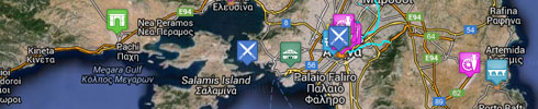
Image
Map of the American Revolutionary War, 1775–1783 - Campaigns, Battles & Naval Power in the War for Independence
The American Revolutionary War or American War of Independence (1775–1783...

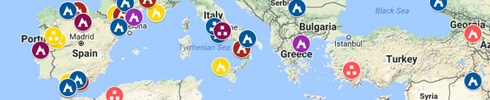
Image
Map of the First Anglo-Boer War, 1880–1881 - Resistance, Imperial Overreach & the Limits of British Power
The First Anglo-Boer War (1880-1881) emerged from growing tensions following...