
Illustration


This map illustrates the US-Mexican War of 1846-1848, triggered by the US annexation of Texas and a disputed border at the Río Grande. Under President James K. Polk (1845-1849) and a succession of Mexican leaders, fighting spread from the Gulf Coast to the Pacific, reshaping North America's political map.
The conflict unfolded in three main theaters. In the north, US armies pushed across the Río Grande and secured the frontier, halting Mexican counteroffensives. In the west, naval squadrons and volunteer columns occupied California and New Mexico, severing Mexico's Pacific flank. A Gulf-coast landing then opened the road to the Mexican heartland, where a sustained campaign captured the capital and compelled peace. The Treaty of Guadalupe Hidalgo (2 February 1848) ended hostilities: Mexico ceded vast northern territories, including California and New Mexico, and accepted the Río Grande as the Texas boundary.
About the Author

Related Images

North America in the French and Indian War 1754–1763 - A Colonial War and the Roots of American Revolution

European Colonization of North America c.1750

Spanish Conquest & Exploration in North America in the 16th century

Europe after The Treaty of Versailles
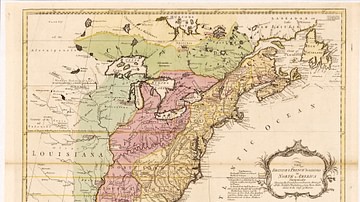
English & French Colonies in North America, 1758 CE
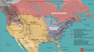
United States Expansion after the Treaty of Paris in 1783
Cite This Work
APA Style
Netchev, S. (2025, July 03). Map of the US-Mexican War of 1846-1848. World History Encyclopedia. Retrieved from https://www.worldhistory.org/image/20645/map-of-the-us-mexican-war-of-1846-1848/
Chicago Style
Netchev, Simeon. "Map of the US-Mexican War of 1846-1848." World History Encyclopedia. Last modified July 03, 2025. https://www.worldhistory.org/image/20645/map-of-the-us-mexican-war-of-1846-1848/.
MLA Style
Netchev, Simeon. "Map of the US-Mexican War of 1846-1848." World History Encyclopedia. World History Encyclopedia, 03 Jul 2025, https://www.worldhistory.org/image/20645/map-of-the-us-mexican-war-of-1846-1848/. Web. 03 Jul 2025.