
Illustration


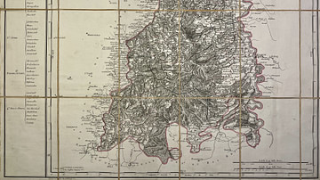
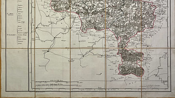
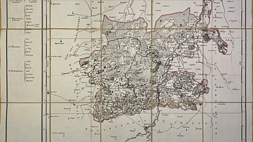
This antique map of Germany represents the department of Rhin-et-Moselle under the First French Empire. It was produced in the early 19th century by French geographer Pierre-Gilles Chanlaire and is included in the Atlas National de France. The map reflects the administrative restructuring of the region following its incorporation into the Napoleonic Empire.
Related Images
Map of the Mont-Tonnerre Department
Map of the Jemappes Department
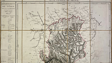
Map of the Genoa Department
Map of the Saar Department
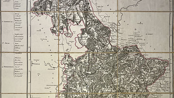
Map of the Meuse-Inférieure Department

Map of the Roer Department
Cite This Work
APA Style
Chanlaire, P. (2025, May 27). Map of the Rhin-et-Moselle Department. World History Encyclopedia. Retrieved from https://www.worldhistory.org/image/20496/map-of-the-rhin-et-moselle-department/
Chicago Style
Chanlaire, Pierre-Gilles. "Map of the Rhin-et-Moselle Department." World History Encyclopedia. Last modified May 27, 2025. https://www.worldhistory.org/image/20496/map-of-the-rhin-et-moselle-department/.
MLA Style
Chanlaire, Pierre-Gilles. "Map of the Rhin-et-Moselle Department." World History Encyclopedia. World History Encyclopedia, 27 May 2025, https://www.worldhistory.org/image/20496/map-of-the-rhin-et-moselle-department/. Web. 27 Jun 2025.