
Illustration


This map illustrates the political landscape of the United States in 1861, just as the nation stood on the brink of civil war. It highlights the division between free and slave states, the status of U.S. territories, and the emerging Confederacy, offering a snapshot of a fractured republic at a critical turning point.
As Southern states began to secede following Abraham Lincoln’s election, long-standing tensions over slavery, state sovereignty, and sectional power erupted into crisis. This map captures the Union in its final moments of unity—before Fort Sumter, before battle lines were drawn—revealing how geography, policy, and ideology shaped the coming conflict.
About the Author

Related Images

Dried Tobacco

Missouri River
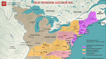
The U.S. Presidential Election of 1800

Electoral Notices, Pompeii
Trade Union Scroll for the Amalgamated Society of Engineers

Nesting Least Terns on Missouri River
Cite This Work
APA Style
Netchev, S. (2025, April 29). The United States on the Eve of Civil War, 1861. World History Encyclopedia. Retrieved from https://www.worldhistory.org/image/20390/the-united-states-on-the-eve-of-civil-war-1861/
Chicago Style
Netchev, Simeon. "The United States on the Eve of Civil War, 1861." World History Encyclopedia. Last modified April 29, 2025. https://www.worldhistory.org/image/20390/the-united-states-on-the-eve-of-civil-war-1861/.
MLA Style
Netchev, Simeon. "The United States on the Eve of Civil War, 1861." World History Encyclopedia. World History Encyclopedia, 29 Apr 2025, https://www.worldhistory.org/image/20390/the-united-states-on-the-eve-of-civil-war-1861/. Web. 29 Apr 2025.