


A map illustrating the emergence and expansion of one of the largest centralized states in the premodern world - the Mughal (Persian for Mongol) Empire from its foundation in 1526 by Ẓahīr al-Dīn Muḥammad Babur, a Chagatai Turk and a descendant of both Timur and Genghis Khan until its heyday under Aurangzeb in the early 1700s when it held a population of between 100 and 150 million and covered almost the entire Indian subcontinent from the edges of the Indus river basin, Afghanistan and Kashmir to the present-day Assam and Bangladesh highlands and south to the uplands of Deccan. The Mughal empire commanded resources unprecedented in Indian history and, in sheer size, surpassed its two rival Islamic empires - Safavids and Ottomans, being comparable only to Imperial China of the time.
About the Author

Related Images
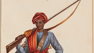
Mughal Empire Sepoy

Robert Clive & The East India Company Rule in India, c. 1765
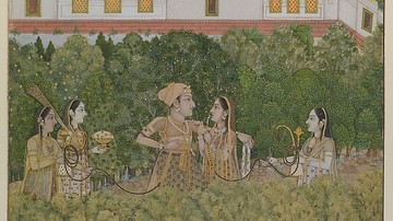
Mughal Prince & Ladies in a Garden

Portrait of a Mughal Woman

Mughal Princess Nadira Banu Begum
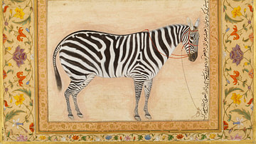
Mughal Zebra Painting
Cite This Work
APA Style
Netchev, S. (2022, October 03). Mughal India c. 1707. World History Encyclopedia. https://www.worldhistory.org/image/16429/mughal-india-c-1707/
Chicago Style
Netchev, Simeon. "Mughal India c. 1707." World History Encyclopedia, October 03, 2022. https://www.worldhistory.org/image/16429/mughal-india-c-1707/.
MLA Style
Netchev, Simeon. "Mughal India c. 1707." World History Encyclopedia, 03 Oct 2022, https://www.worldhistory.org/image/16429/mughal-india-c-1707/.