


Ile Davis (Davis Island or Davis Land) was an island said to have been discovered in 1687 near Rapa Nui (Easter Island) by the English buccaneer Edward Davis (fl. c. 1680–1688) skipper of the Bachelor’s Delight. It is located below the Tropic of Capricorn, to the left of South America and Isles St. Felix.
Related Images
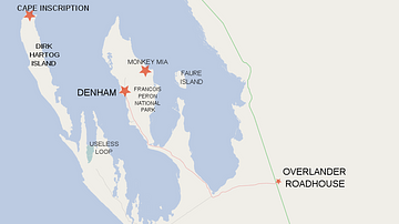
Map of Shark Bay Area Showing Dirk Hartog Island and Cape Inscription
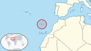
Map Showing the Location of the Madeira Archipelago

Map Showing William Dampier's 1699 Expedition Route
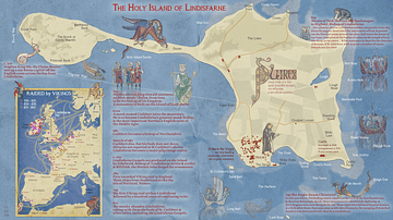
The Holy Island of Lindisfarne
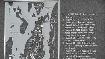
Battle of Rhode Island Site

Map of Ancient Egypt
Cite This Work
APA Style
Library, A. o. M. H. a. t. D. N. (2022, May 30). Map Showing Davis Island Below the Tropic of Capricorn. World History Encyclopedia. https://www.worldhistory.org/image/15969/map-showing-davis-island-below-the-tropic-of-capri/
Chicago Style
Library, Atlas of Mutual Heritage and the Dutch National. "Map Showing Davis Island Below the Tropic of Capricorn." World History Encyclopedia, May 30, 2022. https://www.worldhistory.org/image/15969/map-showing-davis-island-below-the-tropic-of-capri/.
MLA Style
Library, Atlas of Mutual Heritage and the Dutch National. "Map Showing Davis Island Below the Tropic of Capricorn." World History Encyclopedia, 30 May 2022, https://www.worldhistory.org/image/15969/map-showing-davis-island-below-the-tropic-of-capri/.