


Map showing William Dampier's expedition along the west and northwest coast of New Holland (Australia) and the coasts of Timor, New Guinea and New Britain in 1699 aboard the HMS Roebuck.
Related Images
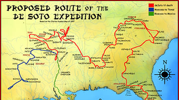
Route of the de Soto Expedition

Map of Thor Heyerdahl’s Kon-Tiki Expedition, 1947
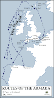
Route Map of the Spanish Armada

Map of the Route of The Spanish Armada, Jul-Sep 1588

Map of Hannibal's Route into Italy
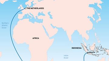
The Brouwer Route
Cite This Work
APA Style
Lencer. (2021, December 05). Map Showing William Dampier's 1699 Expedition Route. World History Encyclopedia. https://www.worldhistory.org/image/14963/map-showing-william-dampiers-1699-expedition-route/
Chicago Style
Lencer. "Map Showing William Dampier's 1699 Expedition Route." World History Encyclopedia, December 05, 2021. https://www.worldhistory.org/image/14963/map-showing-william-dampiers-1699-expedition-route/.
MLA Style
Lencer. "Map Showing William Dampier's 1699 Expedition Route." World History Encyclopedia, 05 Dec 2021, https://www.worldhistory.org/image/14963/map-showing-william-dampiers-1699-expedition-route/.