


A map showing the cities and towns affected by the eruption of Mount Vesuvius in 79 CE. Date of map is 2007 CE.
Related Images
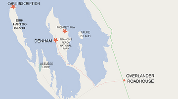
Map of Shark Bay Area Showing Dirk Hartog Island and Cape Inscription
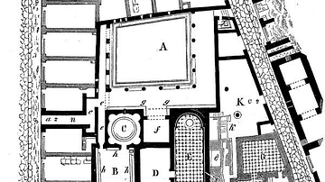
Plan of the Old Baths of Pompeii

Map of Odysseus’ 10-year Journey Home

Map of the Silk Road During the Late 8th Century

Map of Europe on the Eve of WWII, 1939

Map of Ancient Egypt
Cite This Work
APA Style
MapMaster. (2020, May 17). Map of the Bay of Naples, 79 CE. World History Encyclopedia. https://www.worldhistory.org/image/12255/map-of-the-bay-of-naples-79-ce/
Chicago Style
MapMaster. "Map of the Bay of Naples, 79 CE." World History Encyclopedia, May 17, 2020. https://www.worldhistory.org/image/12255/map-of-the-bay-of-naples-79-ce/.
MLA Style
MapMaster. "Map of the Bay of Naples, 79 CE." World History Encyclopedia, 17 May 2020, https://www.worldhistory.org/image/12255/map-of-the-bay-of-naples-79-ce/.