


A map of the east coast of Africa showing, amongst others, the key trade ports of the Swahili Coast during the medieval period, 12th to 15th century CE.
Related Images
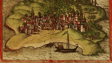
Kilwa Map Illustration

Map of the Scramble for Africa after the Berlin Conference

Map of Africa in World War II

Map of WWII North Africa Campaign, 1940-1943

Map of Roman North Africa (146 BCE - 395 CE)

Map of Africa after the Treaty of Versailles, c.1920
Cite This Work
APA Style
Walrasiad. (2019, March 27). Swahili Coast Map. World History Encyclopedia. https://www.worldhistory.org/image/10327/swahili-coast-map/
Chicago Style
Walrasiad. "Swahili Coast Map." World History Encyclopedia, March 27, 2019. https://www.worldhistory.org/image/10327/swahili-coast-map/.
MLA Style
Walrasiad. "Swahili Coast Map." World History Encyclopedia, 27 Mar 2019, https://www.worldhistory.org/image/10327/swahili-coast-map/.