


An illustration of the trading city-state of Kilwa on the Swahili Coast (modern Tanzania) which flourished between the 12th and 15th century CE. (From Georg Braun and Franz Hogenberg's 'atlas Civitates orbis terrarum', vol. I, 1572 CE)
Related Images

Swahili Coast Map

Map of the Scramble for Africa after the Berlin Conference

Map of Africa in World War II

Map of Roman North Africa (146 BCE - 395 CE)
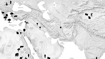
Resource Map of the Ancient Middle East

Map of WWII North Africa Campaign, 1940-1943
Cite This Work
APA Style
Hogenberg, G. B. &. F. (2019, March 27). Kilwa Map Illustration. World History Encyclopedia. https://www.worldhistory.org/image/10326/kilwa-map-illustration/
Chicago Style
Hogenberg, George Braun & Franz. "Kilwa Map Illustration." World History Encyclopedia, March 27, 2019. https://www.worldhistory.org/image/10326/kilwa-map-illustration/.
MLA Style
Hogenberg, George Braun & Franz. "Kilwa Map Illustration." World History Encyclopedia, 27 Mar 2019, https://www.worldhistory.org/image/10326/kilwa-map-illustration/.