
Search
Remove Ads
Advertisement
Search Results
Image
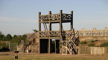
Roman Fort, Lunt
A reconstruction of the gate of the Roman fort at Lunt (Coventry, UK)

Video
Fort Sumter: Animated Battle Map
We at the American Battlefield Trust are re-releasing our original set of Animated Battle Maps with brand new openings and narration. Enjoy learning more about the Battle of Fort Sumter. Our collection of animated...

Image
Fort Ticonderoga, New York, USA
Fort Ticonderoga, Ticonderoga, New York, USA. Photo by Peretz Partensky, 2012.

Image
Bombardment of Fort Sumter by Currier & Ives
Bombardment of Fort Sumter, Charleston Harbor: 12th & 13th of April, 1861, the attack that started the American Civil War, colored lithograph by Currier & Ives, 1861. Library of Congress, Washington, D.C...
Image
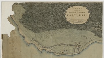
Siege and Defence of Fort Erie
Chart Illustrative of the Siege & Defence of Fort Erie. Campaign of 1814, by the War Department, Office of the Chief of Engineers.
National Archives and Records Administration, Washington, D.C.
Image
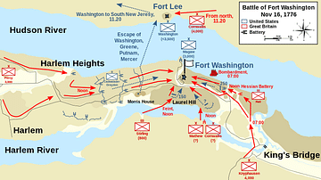
Map of the Battle of Fort Washington, 16 November 1776
A map detailing the troop movements at the Battle of Fort Washington (16 November 1776).
Made by Wikipedia user Oneam, 13 July 2013.

Image
Capture of Fort Ticonderoga
A print depicting Ethan Allen demanding the surrender of Fort Ticonderoga, 10 May 1775. By John Steeple Davis, 1875. Originally published in The Aldine: the Art Journal of America. (New York: The Aldine Co., 1868-1879...

Image
Vindolanda Roman Fort
Vindolanda was one of the Stanegate forts that pre-dated Hadrian's Wall. Constructed in about 85 CE and occupied until the end of Roman Britain, Vindolanda was the longest-occupied fort on the line of the Wall.
Image
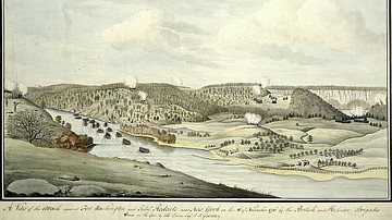
Battle of Fort Washington
Attack on the American garrison of Fort Washington by the British and Hessians, 16 November 1776. Watercolor by Thomas Davies, 1776.
New York Public Library.
Image
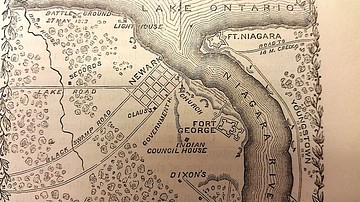
Map of Fort George, c. 1812
Map of Fort George and surrounding areas during the War of 1812, from The Pictorial Field Book of the War of 1812 by Benson Lossing.
