
Search
Remove Ads
Advertisement
Search Results
Article
Etymology of the Name India
The name of India is a corruption of the word Sindhu. Neighbouring Arabs, Iranians uttered's' as 'h' and called this land Hindu. Greeks pronounced this name as Indus. Sindhu is the name of the Indus River, mentioned...

Image
Map of Timur’s Empire and Campaigns, 1370–1405 - The rise and the expansion of Tamerlane across Eurasia
The Timurid Empire under Timur (reign 1370–1405) emerged from the fragmented political world of the western Chagatai Khanate in Central Asia. Born near Kesh...

Image
Map of the Sassanid Empire c. 620 CE - Persia’s Last Great Imperial Power
The Sasanian Empire (224–651 CE), known in Middle Persian sources as Ērānshahr (“Realm of the Iranians”), emerged as the final pre-Islamic Persian imperial state and a major power of...

Image
Greek and Phoenician Colonization
Both the ancient Greeks and Phoenicians extensively colonized vast areas of Europe, along the Mediterranean and Black Sea coasts. In doing so, they spread their culture, which strongly influenced the local tribes...

Image
Map of the Median Hegemony, c. 600 BCE - Power, Influence & Transition in Western Asia after Assyria
The Median hegemony (late 7th-early 6th century BCE) emerged in the aftermath of the Bronze Age Collapse (c. 1200-1150 BCE) and, more directly, the disintegration...

Image
Map of the World War I in Europe, May 1917 - Front Lines, Occupation and a Continent in Crisis
By May 1917, the First World War (1914–1918) had transformed the political and military geography of Europe. The Western Front remained entrenched across France and...

Image
Map of Europe at the End of WW I, 1918 - After the Great War - Between Empire, Revolution, and Peace
The end of the First World War (1914–1918) transformed Europe and the Near East through the military defeat of the Central Powers and the collapse of the German...
Image
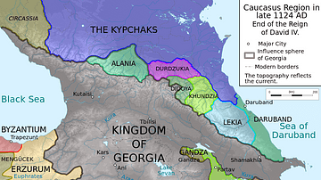
Georgia under David IV the Builder
Caucasus region in late 1124 CE.
Image
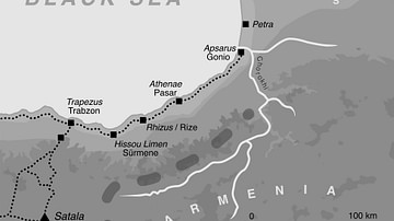
The Caucasian Frontier of the Roman Empire
A map showing the auxiliary forts located on the eastern end of the Black Sea during the reign of Roman emperor Hadrian (r. 117-138 CE). The Caucasus region was part of the eastern frontiers of the Roman Empire...
Image
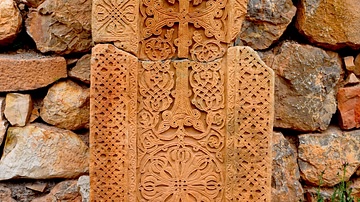
Khachkar from Noravank Monastery in Armenia
This lovely medieval khachkar or "cross stone" is located at the Noravank Monastern in Armenia's Vayots Dzor Province. Khachkars are characteristic of Medieval Christian Armenian art, they and can be found...
