
Search Images
Browse Content (p. 693)
Image
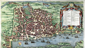
Map of Goa, c. 1750
A c. 1750 map of Portuguese Goa in India, capital of the Estado da India or Portuguese empire in the East.
Image
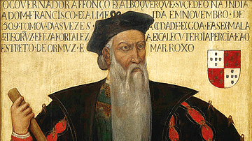
Afonso de Albuquerque
A 16th-century portrait of Afonso de Albuquerque who established the colony of Portuguese Goa in India and who served as the Viceroy of the Estado da India from 1509 to 1515. (National Museum of Ancient Art, Lisbon)
Image
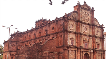
Basilica of Bom Jesus, Goa
The Jesuit Basilica of Bom Jesus in Goa, India. The basilica was built in Portuguese Goa from 1594 to 1605.
Image
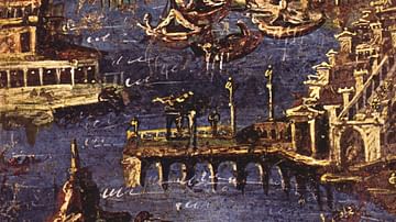
Port Scene, Fresco from Stabiae
Port scene. Roman Fresco from Stabiae. Perhaps the harbour of Puteoli (ancient Pozzuoli).
National Archaeological Museum, Naples
Image
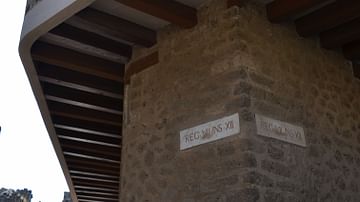
The Lupanar, Pompeii
The Lupanar brothel in Pompeii.
Image
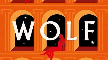
The Wolf Den by Elodie Harper
Cover of The Wolf Den by Elodie Harper.
Image
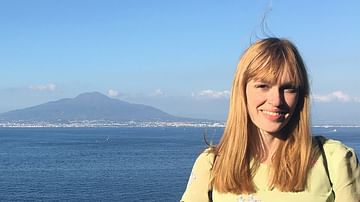
Elodie Harper
Elodie Harper, author of the historical fiction book The Wolf Den.

Image
Woman Spying on Male Lovers
Woman Spying on Male Lovers by an unknown artist, Qing Dynasty.
Chinese Sexual Culture Museum, Shanghai.
Image
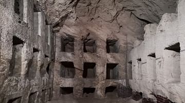
Catacombs of Kom El Shoqafa
Catacombs of Kom El Shoqafa, Alexandria, Egypt, dug in the 2nd century CE.
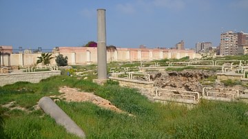
Image
Serapeum of Alexandria
Serapeum of Alexandria, Egypt.