


The Cliffs of Moher are on the west coast of Ireland and reach 214m (702 feet) at their highest point. On a clear day one can see the Aran Islands, Galway Bay, the Twelve Pins, the Maum Turk mountains in Connemara, and the Dingle Peninsula and Blasket Islands in Kerry.
Related Images
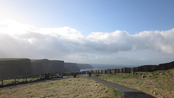
The Cliffs of Moher, Ireland
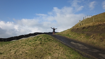
Visitor to Cliffs of Moher, Ireland
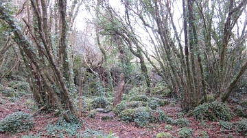
Celtic Art in Woods by Ailwee Caves, County Clare, Ireland
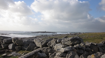
Doolin Pier, County Clare, Ireland
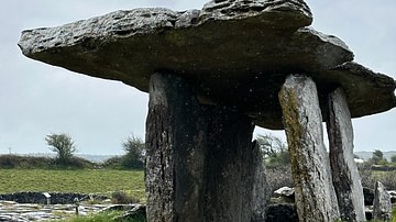
Poulnabrone Portal Tomb, County Clare, Ireland
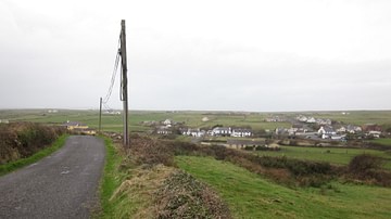
View of the Village of Doolin, County Clare, Ireland
Cite This Work
APA Style
Mark, B. (2015, September 11). The Cliffs of Moher, County Clare, Ireland. World History Encyclopedia. https://www.worldhistory.org/image/4065/the-cliffs-of-moher-county-clare-ireland/
Chicago Style
Mark, Betsy. "The Cliffs of Moher, County Clare, Ireland." World History Encyclopedia, September 11, 2015. https://www.worldhistory.org/image/4065/the-cliffs-of-moher-county-clare-ireland/.
MLA Style
Mark, Betsy. "The Cliffs of Moher, County Clare, Ireland." World History Encyclopedia, 11 Sep 2015, https://www.worldhistory.org/image/4065/the-cliffs-of-moher-county-clare-ireland/.