


Baltic Tribes c. 1200, map by Mapmaster, January 2007
A map depicting the population groups inhabiting the Baltics in around 1200 CE. Borders shown are aproximations. Based on a map by Marija Gimbutas, published in The Balts (1963) LCC 63018018 (page 23 "Fig. 1. Baltic tribes and provinces c. A.D. 1200").
Related Images

Poland-Lithuania at its Greatest Extent, 1619
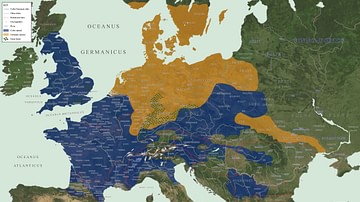
Map of Celtic and Germanic Tribes

Map of the Illyrian Tribes
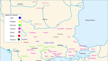
Map of the Tribes in Thrace
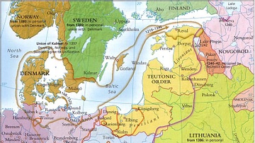
Baltic States 1100-1400 CE

Territories Allotted to the Twelve Tribes of Israel
Cite This Work
APA Style
MapMaster. (2026, January 31). Medieval Baltic Populations Map: c. 1200 CE. World History Encyclopedia. https://www.worldhistory.org/image/21541/medieval-baltic-populations-map/
Chicago Style
MapMaster. "Medieval Baltic Populations Map: c. 1200 CE." World History Encyclopedia, January 31, 2026. https://www.worldhistory.org/image/21541/medieval-baltic-populations-map/.
MLA Style
MapMaster. "Medieval Baltic Populations Map: c. 1200 CE." World History Encyclopedia, 31 Jan 2026, https://www.worldhistory.org/image/21541/medieval-baltic-populations-map/.