
Illustration


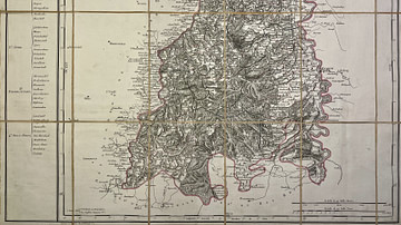
This antique map of Belgium represents the Lys department under the First French Empire. It was created in the early 19th century by French geographer Pierre-Gilles Chanlaire and is part of the Atlas National de France. The map illustrates the administrative restructuring of Belgian territory during the Napoleonic period.
About the Author

Related Images
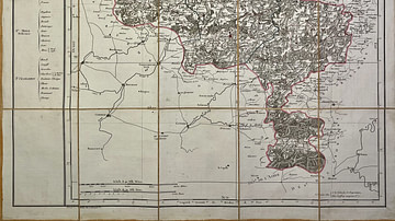
Map of the Jemappes Department
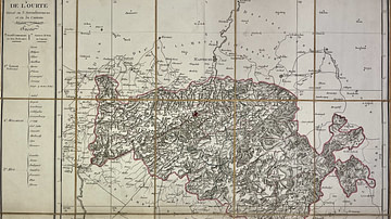
Map of the Ourthe Department
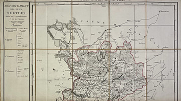
Map of the Deux-Nèthes Department
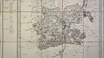
Map of the Meuse-Inférieure Department
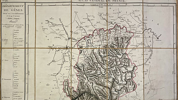
Map of the Genoa Department
Map of the Mont-Tonnerre Department
Cite This Work
APA Style
Denis, L. (2025, June 10). Map of the Lys Department. World History Encyclopedia. Retrieved from https://www.worldhistory.org/image/20514/map-of-the-lys-department/
Chicago Style
Denis, Léopold. "Map of the Lys Department." World History Encyclopedia. Last modified June 10, 2025. https://www.worldhistory.org/image/20514/map-of-the-lys-department/.
MLA Style
Denis, Léopold. "Map of the Lys Department." World History Encyclopedia. World History Encyclopedia, 10 Jun 2025, https://www.worldhistory.org/image/20514/map-of-the-lys-department/. Web. 25 Jun 2025.