
Illustration
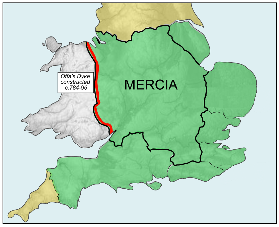
A map showing the greatest extent of the Kingdom of Mercia (c. 527-879 CE), an Anglo-Saxon political entity located in the midlands of present-day Britain
License & Copyright
 Based on Wikipedia content that has been reviewed, edited, and republished.
Original image by Rushton2010/Hel-hama. Uploaded by Mark Cartwright, published on 30 November 2018. The copyright holder has published this content under the following license: Creative Commons Attribution-ShareAlike. This license lets others remix, tweak, and build upon a work even for commercial reasons, as long as they credit the author and license their new creations under the identical terms. When republishing on the web a hyperlink back to the original content source URL must be included. Please note that content linked from this page may have different licensing terms.
Based on Wikipedia content that has been reviewed, edited, and republished.
Original image by Rushton2010/Hel-hama. Uploaded by Mark Cartwright, published on 30 November 2018. The copyright holder has published this content under the following license: Creative Commons Attribution-ShareAlike. This license lets others remix, tweak, and build upon a work even for commercial reasons, as long as they credit the author and license their new creations under the identical terms. When republishing on the web a hyperlink back to the original content source URL must be included. Please note that content linked from this page may have different licensing terms.
Related Images
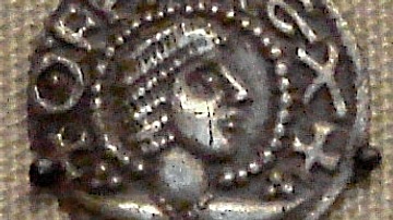
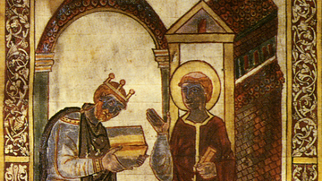
Coin of Offa of Mercia
Map of Ancient & Medieval Sub-Saharan African States
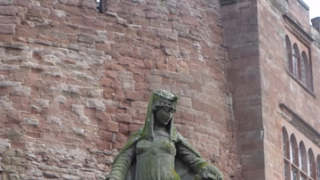
Statue of Aethelflaed
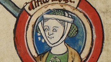
Aethelflaed
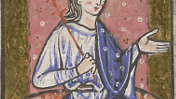
Miniature of Aethelflaed
Aethelstan
Cite This Work
APA Style
Rushton2010/Hel-hama, . (2018, November 30). Map of Kingdom of Mercia. World History Encyclopedia. Retrieved from https://www.worldhistory.org/image/9620/map-of-kingdom-of-mercia/
Chicago Style
Rushton2010/Hel-hama, . "Map of Kingdom of Mercia." World History Encyclopedia. Last modified November 30, 2018. https://www.worldhistory.org/image/9620/map-of-kingdom-of-mercia/.
MLA Style
Rushton2010/Hel-hama, . "Map of Kingdom of Mercia." World History Encyclopedia. World History Encyclopedia, 30 Nov 2018. Web. 18 Apr 2024.