---
title: Darband-i Basara
author: Google Earth
source: https://www.worldhistory.org/image/8839/darband-i-basara/
format: machine-readable-alternate
updated: 1970-01-01
---
# Darband-i Basara
_Authored by Google Earth_
## Image File
[](https://www.worldhistory.org/uploads/images/8839.jpg)
## Image Caption
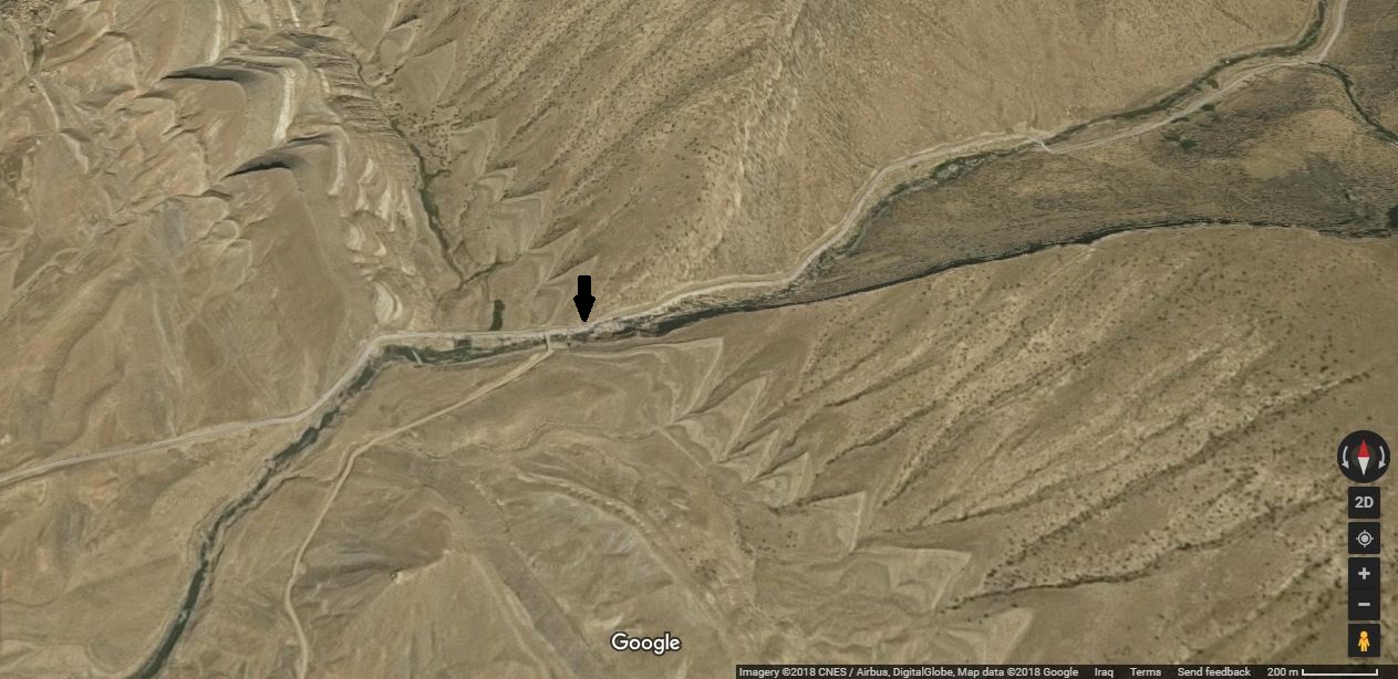
Google Earth's view of Darband-i Basara (Basara Gorge). The black arrow is where a rock relief lies. The gorge transects the anticlines of the upper part of Qaradagh Mountain Ridge. The rock relief is thought to be Lulubian and dates to the late 3rd millennium to early 2nd millennium BCE. Sulaymaniyah, Kurdistan, Iraq.
#### Editorial Review
This human-authored image has been reviewed by our editorial team before publication to ensure accuracy, reliability and adherence to academic standards in accordance with our [editorial policy](https://www.worldhistory.org/static/editorial-policy/).
## Cite This Work
### APA
Earth, G. (2018, June 01). Darband-i Basara. *World History Encyclopedia*.
### Chicago
Earth, Google. "Darband-i Basara." *World History Encyclopedia*, June 01, 2018. .
### MLA
Earth, Google. "Darband-i Basara." *World History Encyclopedia*, 01 Jun 2018, .
## License & Copyright
Original image by **Google Earth**. Submitted by [Osama Shukir Muhammed Amin](https://www.worldhistory.org/user/OsamaSMAmin/ "User Page: Osama Shukir Muhammed Amin"), published on 01 June 2018. The copyright holder has published this content under the following license: [Copyright](http://en.wikipedia.org/wiki/Copyright). You cannot use, copy, distribute, or modify this item without explicit permission from the author. Please note that content linked from this page may have different licensing terms.