
Illustration
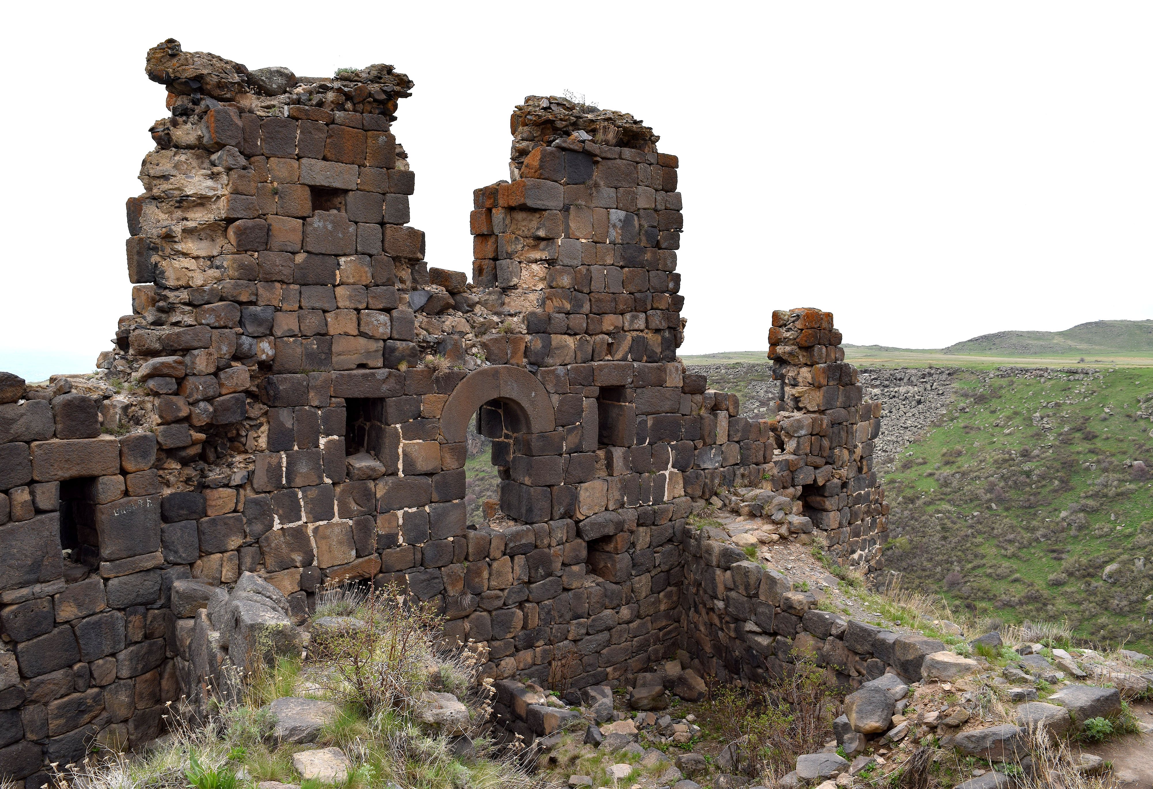
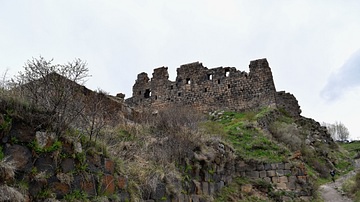
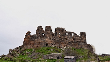
Amberd Fortress, in the Aragatsotn province of Armenia, has a long and rich history. Its name translates as "fortress in the clouds" in Armenian, and it sits along the slopes of Mount Aragats at an altitude of 2300 m (7546 ft). Its strategic location above the Plain of Ararat made it a much-coveted strategic outpost. Although originally constructed in the 7th century CE by the Kamsarakan princes, the Pahlavuni, Zakaryan, Vachutyan noble families also controlled the fortress and expanded it further. It was invaded by the Seljuks around 1075 CE, but liberated by an allied Armenian-Georgian force in 1196 CE. Amberd was heavily destroyed by the Mongols in 1236 CE; Amberd was finally abandoned by the 14th century CE due to invasions by Timur (r. 1370-1405 CE).
About the Author

Related Images
Ruins of Amberd Fortress in Armenia
Amberd Fortress, Armenia
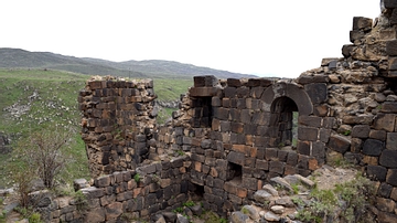
Walls and Ruins of Amberd Fortress

Ruins of Amberd Fortress and Vahramashen Church
Defense Walls of Amberd Fortress
View of the Armenian Fortress Amberd
Cite This Work
APA Style
Wiener, J. B. (2018, February 19). Ruins of Amberd Fortress. World History Encyclopedia. Retrieved from https://www.worldhistory.org/image/8157/ruins-of-amberd-fortress/
Chicago Style
Wiener, James Blake. "Ruins of Amberd Fortress." World History Encyclopedia. Last modified February 19, 2018. https://www.worldhistory.org/image/8157/ruins-of-amberd-fortress/.
MLA Style
Wiener, James Blake. "Ruins of Amberd Fortress." World History Encyclopedia. World History Encyclopedia, 19 Feb 2018. Web. 15 Apr 2024.