
Illustration
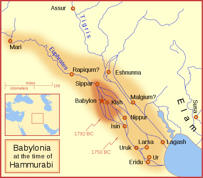
A locator map of Hammurabi's Babylonia, showing the Babylonian territory upon his ascension in 1792 BC and upon his death in 1750 BC. The river courses and coastline are those of that time period — in general, they are not the modern rivers or coastlines. This is a Mercator projection, with north in its usual position.
There is some question to what degree the cities of Nineveh, Tuttul, and Assur were under Babylonian authority. While in his introduction to his code of laws, Hammurabi claims lordship over these cities, Roaf does not include any of these in his map, upon which this map is based, and Chevalas states that "Assur and Nineveh were held for a very few years" (p. 155). Therefore, I have not included them as under Hammurabi's control in 1750 BC.
License & Copyright
 Based on Wikipedia content that has been reviewed, edited, and republished.
Original image by MapMaster. Uploaded by Thamis, published on 26 April 2012. The copyright holder has published this content under the following license: Creative Commons Attribution-ShareAlike. This license lets others remix, tweak, and build upon a work even for commercial reasons, as long as they credit the author and license their new creations under the identical terms. When republishing on the web a hyperlink back to the original content source URL must be included. Please note that content linked from this page may have different licensing terms.
Based on Wikipedia content that has been reviewed, edited, and republished.
Original image by MapMaster. Uploaded by Thamis, published on 26 April 2012. The copyright holder has published this content under the following license: Creative Commons Attribution-ShareAlike. This license lets others remix, tweak, and build upon a work even for commercial reasons, as long as they credit the author and license their new creations under the identical terms. When republishing on the web a hyperlink back to the original content source URL must be included. Please note that content linked from this page may have different licensing terms.
Related Images
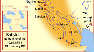
Babylon at the time of the Kassites
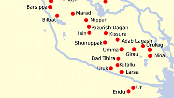
Map of Sumer and Elam
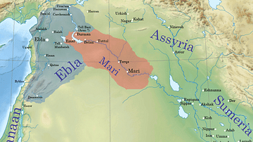
Ebla and Mari during the reign of Iblul-Il of Mari
Law Code Tablet of King Hammurabi from Nippur
Map of the World from Sippar, Mesopotamia
Foundation Clay Tablet from Larsa
References
- File:Hammurabi's Babylonia 1.svg - Wikipedia, the free encyclopediaAccessed 1 Dec 2016.
Cite This Work
APA Style
MapMaster, . (2012, April 26). Babylon at the time of Hammurabi. World History Encyclopedia. Retrieved from https://www.worldhistory.org/image/73/babylon-at-the-time-of-hammurabi/
Chicago Style
MapMaster, . "Babylon at the time of Hammurabi." World History Encyclopedia. Last modified April 26, 2012. https://www.worldhistory.org/image/73/babylon-at-the-time-of-hammurabi/.
MLA Style
MapMaster, . "Babylon at the time of Hammurabi." World History Encyclopedia. World History Encyclopedia, 26 Apr 2012. Web. 16 Apr 2024.