
Illustration
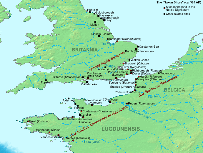
The Late Roman fortifications of the "Saxon Shore" (litus Saxonicum) in Britain and France.
License & Copyright
 Based on Wikipedia content that has been reviewed, edited, and republished.
Original image by Cplakidas. Uploaded by Jan van der Crabben, published on 26 April 2012. The copyright holder has published this content under the following license: Creative Commons Attribution-ShareAlike. This license lets others remix, tweak, and build upon a work even for commercial reasons, as long as they credit the author and license their new creations under the identical terms. When republishing on the web a hyperlink back to the original content source URL must be included. Please note that content linked from this page may have different licensing terms.
Based on Wikipedia content that has been reviewed, edited, and republished.
Original image by Cplakidas. Uploaded by Jan van der Crabben, published on 26 April 2012. The copyright holder has published this content under the following license: Creative Commons Attribution-ShareAlike. This license lets others remix, tweak, and build upon a work even for commercial reasons, as long as they credit the author and license their new creations under the identical terms. When republishing on the web a hyperlink back to the original content source URL must be included. Please note that content linked from this page may have different licensing terms.
Related Images

Germanic Warriors with Captured Soldiers

Royal House of Hanover in Britain Family Tree
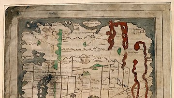
Anglo-Saxon Map of the World
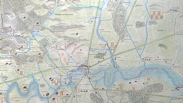
Map of Anglo-Saxon London
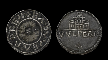
Coin of Edward the Elder

Reconstructed Gate of the Roman Fort Biriciana, Germany
Cite This Work
APA Style
Cplakidas, . (2012, April 26). Map of the Saxon Shore, c. 380 CE. World History Encyclopedia. Retrieved from https://www.worldhistory.org/image/568/map-of-the-saxon-shore-c-380-ce/
Chicago Style
Cplakidas, . "Map of the Saxon Shore, c. 380 CE." World History Encyclopedia. Last modified April 26, 2012. https://www.worldhistory.org/image/568/map-of-the-saxon-shore-c-380-ce/.
MLA Style
Cplakidas, . "Map of the Saxon Shore, c. 380 CE." World History Encyclopedia. World History Encyclopedia, 26 Apr 2012. Web. 18 Apr 2024.