
Illustration
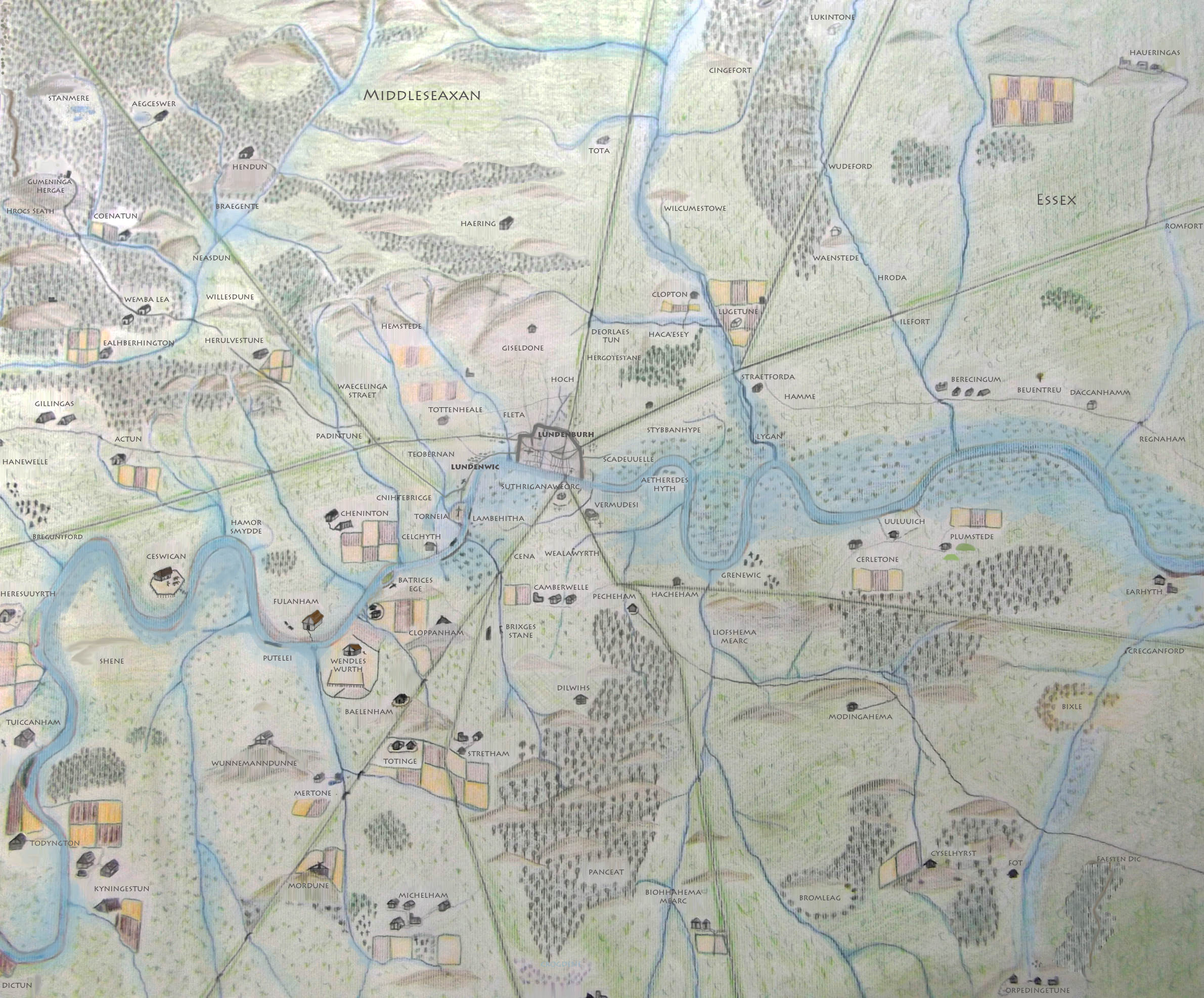
This is a map of Anglo-Saxon London between circa 500 CE and 1066 CE. The main purpose of this map is to highlight those place names which can still be recognized in modern London. As this map spans over 500 years, some of these places may not have existed for the entire timespan.
Republished with permission.
Related Images
Royal House of Hanover in Britain Family Tree

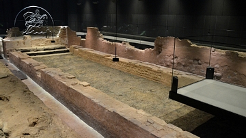
Recreation of Roman Londinium
Map of Roman Britain, 150 AD
Barrage Balloons over London
London Mithraeum
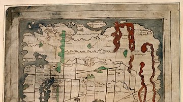
Anglo-Saxon Map of the World
References
- Anglo Saxon London Map: Updated | LondonistAccessed 1 Dec 2016.
Cite This Work
APA Style
Londonist, . (2015, May 18). Map of Anglo-Saxon London. World History Encyclopedia. Retrieved from https://www.worldhistory.org/image/3872/map-of-anglo-saxon-london/
Chicago Style
Londonist, . "Map of Anglo-Saxon London." World History Encyclopedia. Last modified May 18, 2015. https://www.worldhistory.org/image/3872/map-of-anglo-saxon-london/.
MLA Style
Londonist, . "Map of Anglo-Saxon London." World History Encyclopedia. World History Encyclopedia, 18 May 2015. Web. 24 Apr 2024.