
Illustration
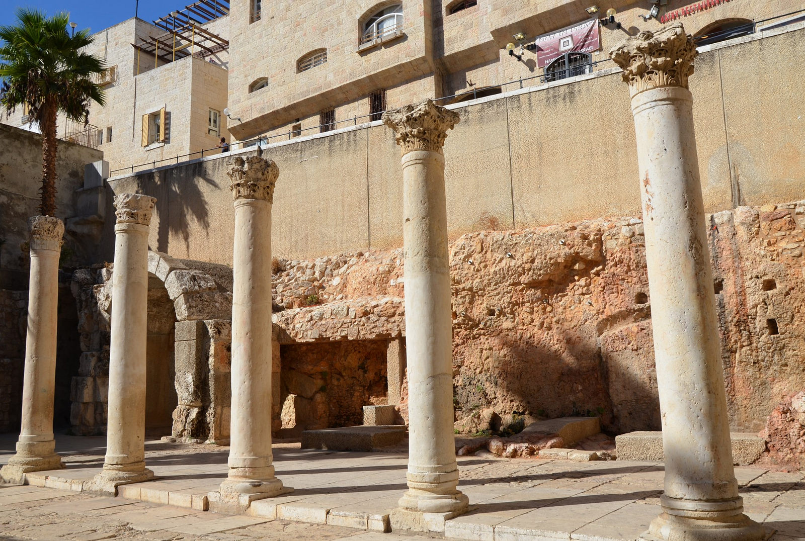
Reconstructed southern section of the Cardo Maximus of Jerusalem. Paved and lined with columns, the Cardo Maximus was the main road that ran through the Roman and Byzantine city and also served as the center for the local economy. This portion dates to the time of Emperor Justinian (6th century CE).
About the Author

License & Copyright
 This image was first published on Flickr.
Original image by Carole Raddato. Uploaded by Carole Raddato, published on 04 March 2015. The copyright holder has published this content under the following license: Creative Commons Attribution-ShareAlike. This license lets others remix, tweak, and build upon a work even for commercial reasons, as long as they credit the author and license their new creations under the identical terms. When republishing on the web a hyperlink back to the original content source URL must be included. Please note that content linked from this page may have different licensing terms.
This image was first published on Flickr.
Original image by Carole Raddato. Uploaded by Carole Raddato, published on 04 March 2015. The copyright holder has published this content under the following license: Creative Commons Attribution-ShareAlike. This license lets others remix, tweak, and build upon a work even for commercial reasons, as long as they credit the author and license their new creations under the identical terms. When republishing on the web a hyperlink back to the original content source URL must be included. Please note that content linked from this page may have different licensing terms.
Related Images
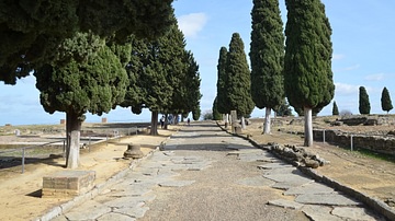
Cardo Maximus of Italica, Spain
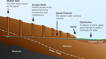
Qanat Cross-Section
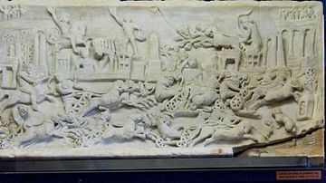
Roman Quadriga Race in the Circus Maximus
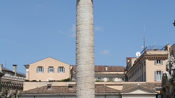
Trajan's Column
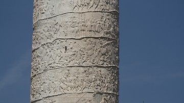
Trajan's Column Detail
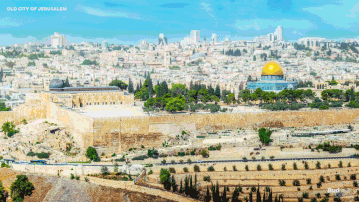
Old City of Jerusalem, Reconstructed
Cite This Work
APA Style
Raddato, C. (2015, March 04). Reconstructed section of the Cardo Maximus of Aelia Capitolina (Jerusalem). World History Encyclopedia. Retrieved from https://www.worldhistory.org/image/3685/reconstructed-section-of-the-cardo-maximus-of-aeli/
Chicago Style
Raddato, Carole. "Reconstructed section of the Cardo Maximus of Aelia Capitolina (Jerusalem)." World History Encyclopedia. Last modified March 04, 2015. https://www.worldhistory.org/image/3685/reconstructed-section-of-the-cardo-maximus-of-aeli/.
MLA Style
Raddato, Carole. "Reconstructed section of the Cardo Maximus of Aelia Capitolina (Jerusalem)." World History Encyclopedia. World History Encyclopedia, 04 Mar 2015. Web. 24 Apr 2024.