
Illustration


A map showing the Polish-Lithuanian Republic at its greatest territorial extent (mid-1600s), superimposed onto modern state boundaries, by Samotny Wędrowiec.
License & Copyright
 Based on Wikipedia content that has been reviewed, edited, and republished.
Original image by Samotny Wędrowiec. Uploaded by Isaac Toman Grief, published on 18 July 2025. The copyright holder has published this content under the following license: Creative Commons Attribution-ShareAlike. This license lets others remix, tweak, and build upon a work even for commercial reasons, as long as they credit the author and license their new creations under the identical terms. When republishing on the web a hyperlink back to the original content source URL must be included. Please note that content linked from this page may have different licensing terms.
Based on Wikipedia content that has been reviewed, edited, and republished.
Original image by Samotny Wędrowiec. Uploaded by Isaac Toman Grief, published on 18 July 2025. The copyright holder has published this content under the following license: Creative Commons Attribution-ShareAlike. This license lets others remix, tweak, and build upon a work even for commercial reasons, as long as they credit the author and license their new creations under the identical terms. When republishing on the web a hyperlink back to the original content source URL must be included. Please note that content linked from this page may have different licensing terms.
Related Images

The Greatest Extent of the Ottoman Empire in Europe (1683 CE)
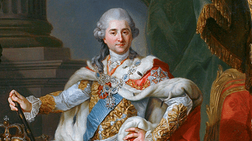
Stanislaus II Augustus of Poland in Coronation Robes

Extent of the Gupta Empire, 320-550 CE

Extent of the Gupta Empire, 375 CE

Jewish Boys In Nazi-occupied Poland
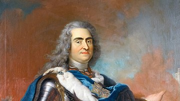
Portrait of Augustus II of Poland
Cite This Work
APA Style
Wędrowiec, S. (2025, July 18). Poland-Lithuania at its Greatest Extent, 1619. World History Encyclopedia. Retrieved from https://www.worldhistory.org/image/20669/poland-lithuania-at-its-greatest-extent-1619/
Chicago Style
Wędrowiec, Samotny. "Poland-Lithuania at its Greatest Extent, 1619." World History Encyclopedia. Last modified July 18, 2025. https://www.worldhistory.org/image/20669/poland-lithuania-at-its-greatest-extent-1619/.
MLA Style
Wędrowiec, Samotny. "Poland-Lithuania at its Greatest Extent, 1619." World History Encyclopedia. World History Encyclopedia, 18 Jul 2025, https://www.worldhistory.org/image/20669/poland-lithuania-at-its-greatest-extent-1619/. Web. 18 Jul 2025.