
Illustration
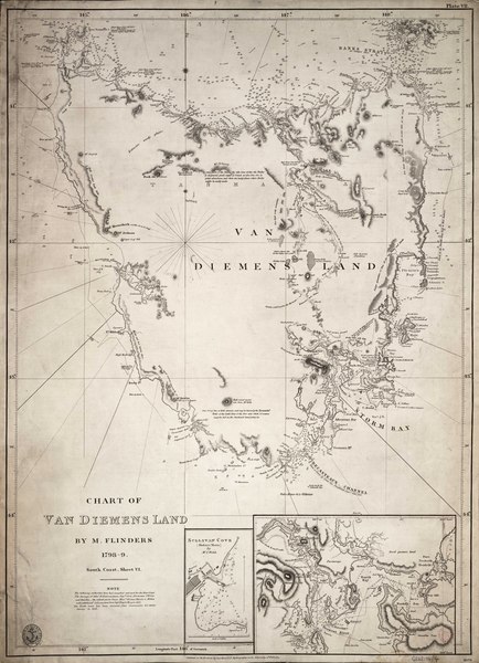
Chart of Van Diemen's Land (Tasmania) by the British navigator and cartographer, Matthew Flinders, (1774-1814). Chart drawn 1798-1799.
License & Copyright
 Based on Wikipedia content that has been reviewed, edited, and republished.
Original image by National Maritime Museum, Greenwich, London.. Uploaded by Kim Martins, published on 31 December 2021. The copyright holder has published this content under the following license: Public Domain. This item is in the public domain, and can be used, copied, and modified without any restrictions. Please note that content linked from this page may have different licensing terms.
Based on Wikipedia content that has been reviewed, edited, and republished.
Original image by National Maritime Museum, Greenwich, London.. Uploaded by Kim Martins, published on 31 December 2021. The copyright holder has published this content under the following license: Public Domain. This item is in the public domain, and can be used, copied, and modified without any restrictions. Please note that content linked from this page may have different licensing terms.
Related Images
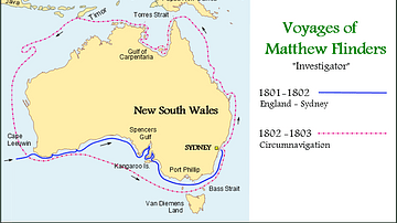
Map of the Voyages of Matthew Flinders in the Investigator
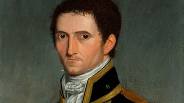
Matthew Flinders
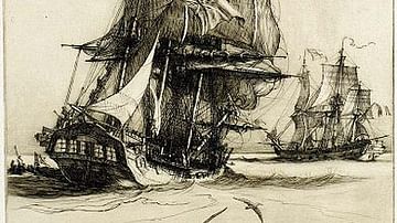
HMS Investigator
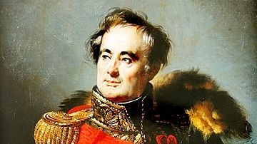
Charles Mathieu Isidore Decaen
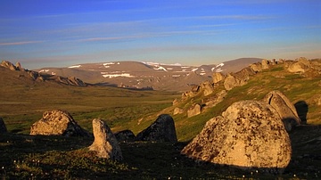
Bering Land Bridge Natural Preserve
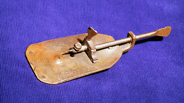
Leeuwenhoek Microscope
Cite This Work
APA Style
London., N. M. M. G. (2021, December 31). Chart of Van Diemen's Land. World History Encyclopedia. Retrieved from https://www.worldhistory.org/image/15072/chart-of-van-diemens-land/
Chicago Style
London., National Maritime Museum, Greenwich,. "Chart of Van Diemen's Land." World History Encyclopedia. Last modified December 31, 2021. https://www.worldhistory.org/image/15072/chart-of-van-diemens-land/.
MLA Style
London., National Maritime Museum, Greenwich,. "Chart of Van Diemen's Land." World History Encyclopedia. World History Encyclopedia, 31 Dec 2021. Web. 19 Apr 2024.