
Illustration
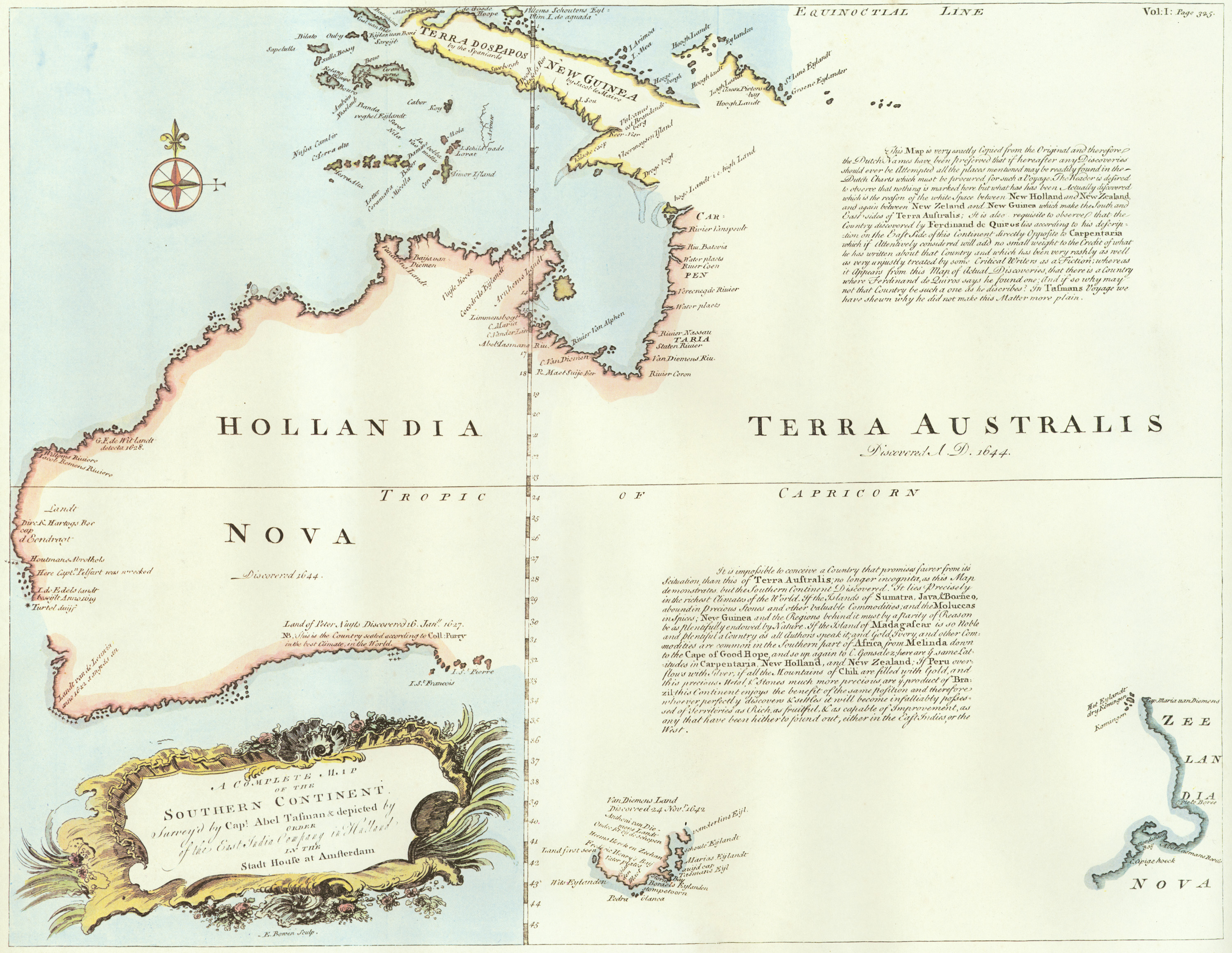
"A complete map of the Southern Continent surveyed by Captain Abel Tasman (1603-1659 CE) and depicted by order of the East India Company in Holland in the Stadt House at Amsterdam, 1774 CE." The map shows the western mainland of Australia, named New Holland by Tasman, and the eastern mainland. Terra Australis Incognita was the name given to the fabled southern continent long sought after by explorers and now known as Australia.
License & Copyright
 Based on Wikipedia content that has been reviewed, edited, and republished.
Original image by East India Company. Uploaded by Kim Martins, published on 05 December 2021. The copyright holder has published this content under the following license: Public Domain. This item is in the public domain, and can be used, copied, and modified without any restrictions. Please note that content linked from this page may have different licensing terms.
Based on Wikipedia content that has been reviewed, edited, and republished.
Original image by East India Company. Uploaded by Kim Martins, published on 05 December 2021. The copyright holder has published this content under the following license: Public Domain. This item is in the public domain, and can be used, copied, and modified without any restrictions. Please note that content linked from this page may have different licensing terms.
Related Images

Chart of the Malay Archipelago and the Dutch Discoveries in Australia
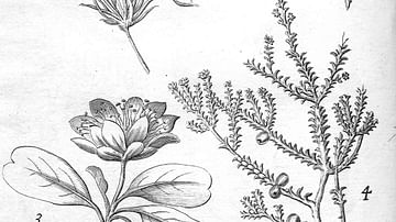
Plants Found in New Holland.
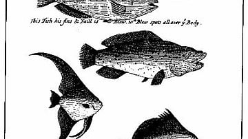
An Illustration from 'A Continuation of a Voyage to New Holland' by William Dampier.
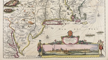
Map of New Netherland
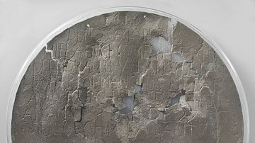
Dirk Hartog's Plate
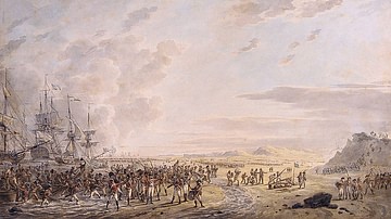
Landing of English troops in Holland, 27 August 1799
Cite This Work
APA Style
Company, E. I. (2021, December 05). A Map of the Southern Continent. World History Encyclopedia. Retrieved from https://www.worldhistory.org/image/14962/a-map-of-the-southern-continent/
Chicago Style
Company, East India. "A Map of the Southern Continent." World History Encyclopedia. Last modified December 05, 2021. https://www.worldhistory.org/image/14962/a-map-of-the-southern-continent/.
MLA Style
Company, East India. "A Map of the Southern Continent." World History Encyclopedia. World History Encyclopedia, 05 Dec 2021. Web. 15 Apr 2024.