
Illustration
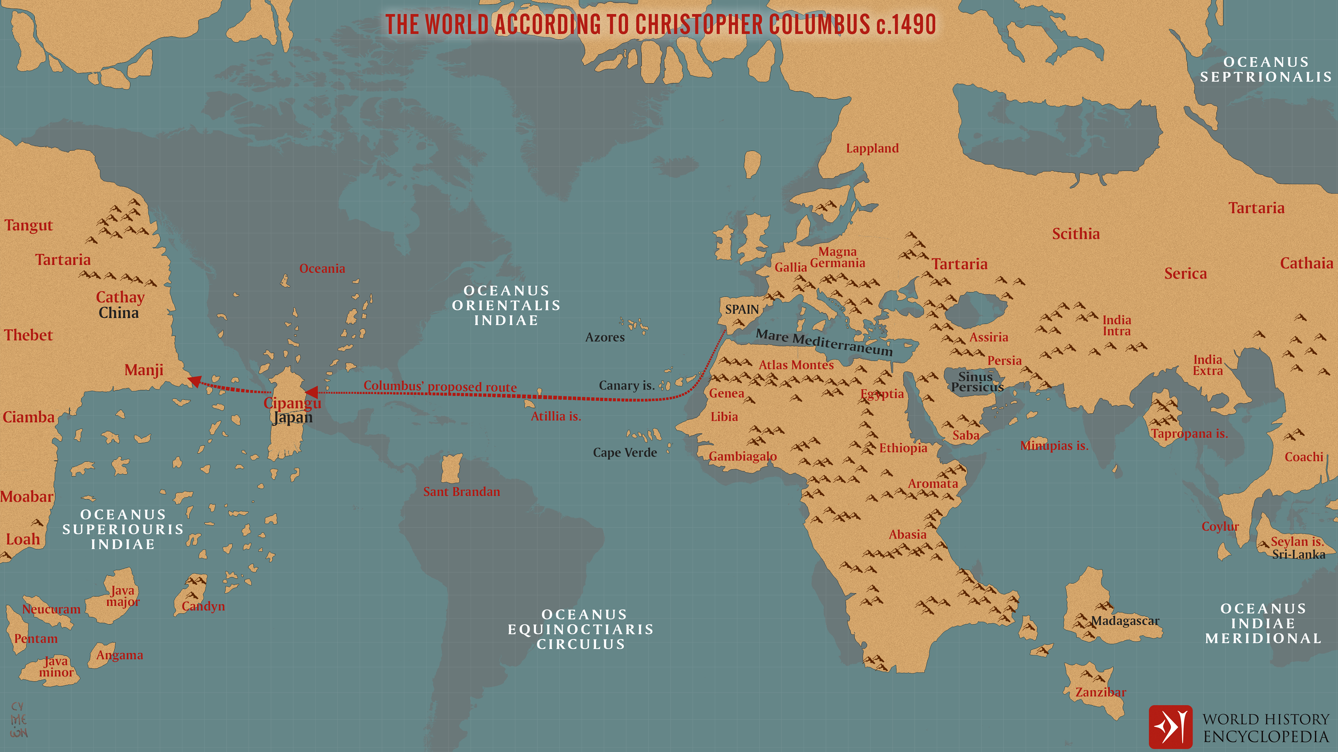
A map illustrating Christopher Columbus’s image of the world before his first voyage in 1492. It was based on a map by Toscanelli, depicting the planet about 25% smaller than it actually was, and ignored the (correct) measurements of Eratosthenes from some 1700 years earlier, compounded by his own wishful thinking and wrong mathematical assumptions. By Columbus' estimate, Asia was about 2,500 miles west of Spain. He was mistaken by roughly 8,000 miles.
About the Author

Related Images
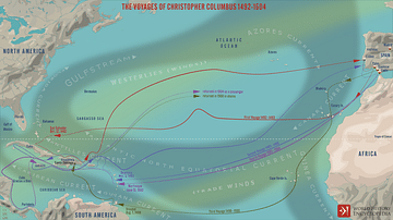
The Four Voyages of Christopher Columbus
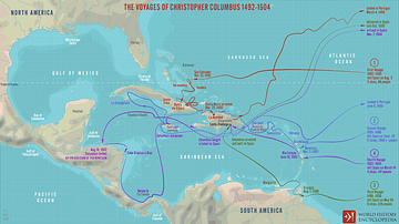
The Voyages of Christopher Columbus 1492-1504
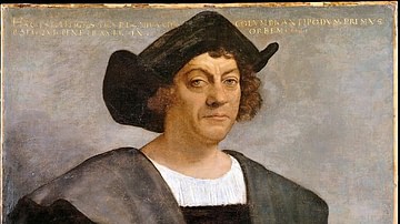
Portrait of a Man Said to Be Christopher Columbus
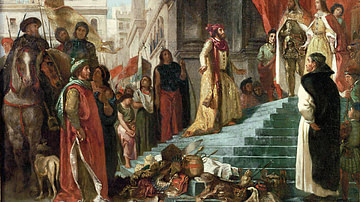
The Return of Christopher Columbus
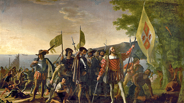
The Landing of Columbus by Vanderlyn
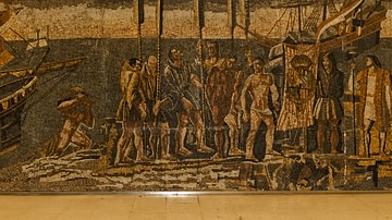
Columbus' Arrival in America
Cite This Work
APA Style
Netchev, S. (2021, October 01). The World According to Columbus c. 1490. World History Encyclopedia. Retrieved from https://www.worldhistory.org/image/14664/the-world-according-to-columbus-c-1490/
Chicago Style
Netchev, Simeon. "The World According to Columbus c. 1490." World History Encyclopedia. Last modified October 01, 2021. https://www.worldhistory.org/image/14664/the-world-according-to-columbus-c-1490/.
MLA Style
Netchev, Simeon. "The World According to Columbus c. 1490." World History Encyclopedia. World History Encyclopedia, 01 Oct 2021. Web. 24 Apr 2024.