
Illustration

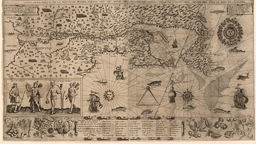
A map produced in 1719 showing New France. The pink area marks the territory of Canada.
License & Copyright
#/media/File:La_Nouvelle-France.jpg) Based on Wikipedia content that has been reviewed, edited, and republished.
Original image by Nicolas de Fer. Uploaded by Celina Bebenek, published on 23 August 2021. The copyright holder has published this content under the following license: Public Domain. This item is in the public domain, and can be used, copied, and modified without any restrictions. Please note that content linked from this page may have different licensing terms.
Based on Wikipedia content that has been reviewed, edited, and republished.
Original image by Nicolas de Fer. Uploaded by Celina Bebenek, published on 23 August 2021. The copyright holder has published this content under the following license: Public Domain. This item is in the public domain, and can be used, copied, and modified without any restrictions. Please note that content linked from this page may have different licensing terms.
Related Images

Henry Hudson Portrait

Jaques Cartier

Iroquois Monument Maisonneuve
Map of New France, 1612 CE
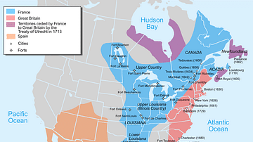
Map of New France, 1750 CE
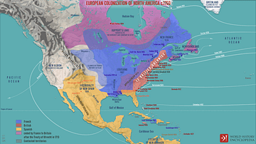
European Colonization of North America c.1750
Cite This Work
APA Style
Fer, N. d. (2021, August 23). Map of New France. World History Encyclopedia. Retrieved from https://www.worldhistory.org/image/14479/map-of-new-france/
Chicago Style
Fer, Nicolas de. "Map of New France." World History Encyclopedia. Last modified August 23, 2021. https://www.worldhistory.org/image/14479/map-of-new-france/.
MLA Style
Fer, Nicolas de. "Map of New France." World History Encyclopedia. World History Encyclopedia, 23 Aug 2021. Web. 18 Apr 2024.