
Illustration
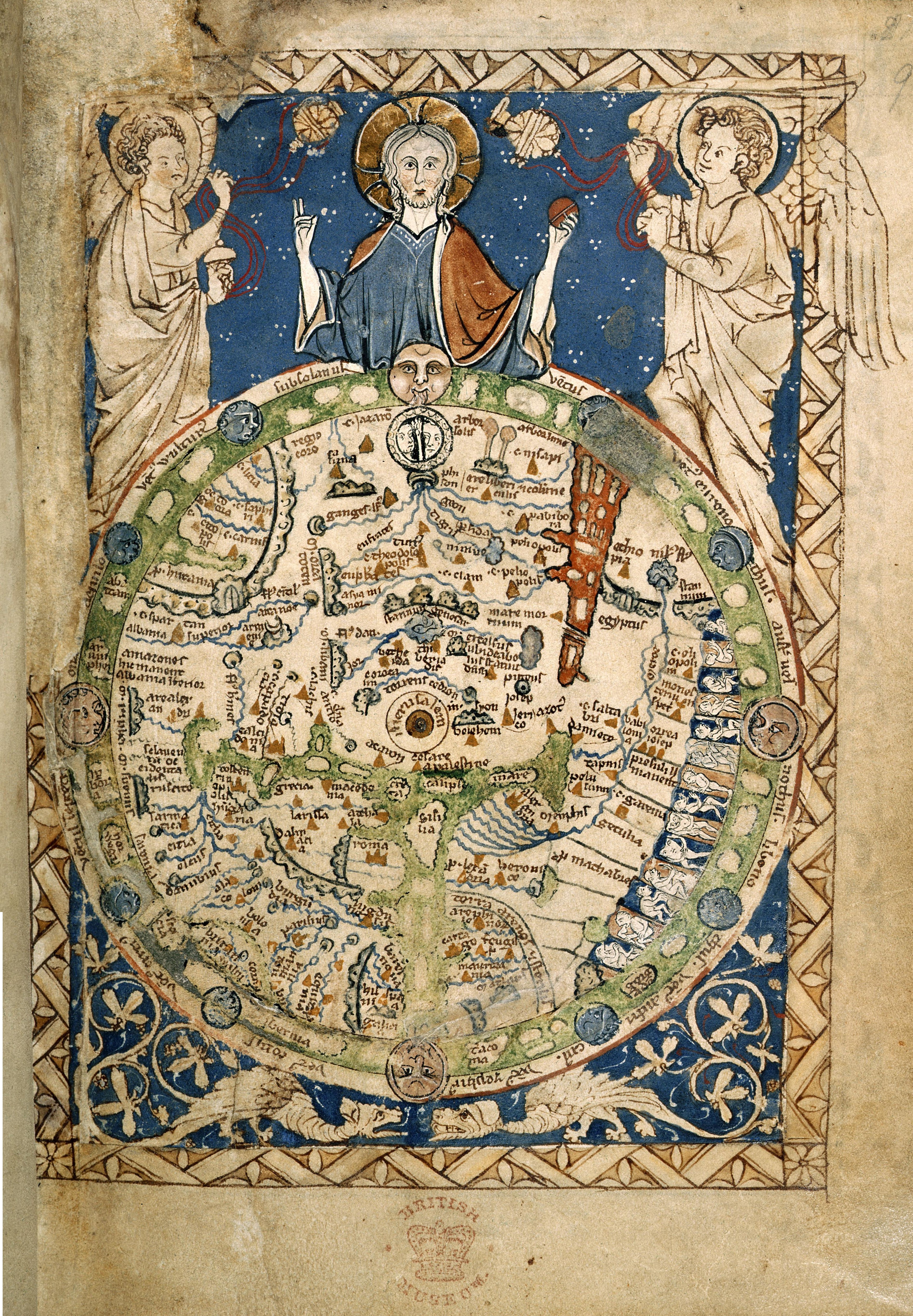
The "Psalter World Map" was made c. 1265, and depicts the world as it was known to Medieval Europeans. Approx. 9.5 cm (3.7 in) high. (Courtesy of the British Library)
License & Copyright
 Based on Wikipedia content that has been reviewed, edited, and republished.
Original image by British Library. Uploaded by Arienne King, published on 30 May 2021. The copyright holder has published this content under the following license: Public Domain. This item is in the public domain, and can be used, copied, and modified without any restrictions. Please note that content linked from this page may have different licensing terms.
Based on Wikipedia content that has been reviewed, edited, and republished.
Original image by British Library. Uploaded by Arienne King, published on 30 May 2021. The copyright holder has published this content under the following license: Public Domain. This item is in the public domain, and can be used, copied, and modified without any restrictions. Please note that content linked from this page may have different licensing terms.
Related Images
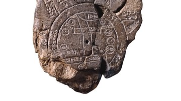
Babylonian Map of the World
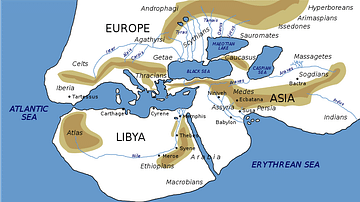
World Map of Herodotus
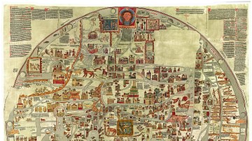
Ebstorf Map

Medieval Soldier Being Knighted
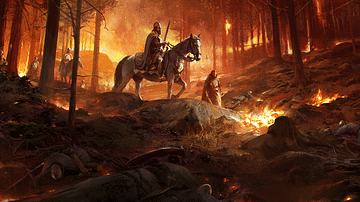
Aftermath of a Medieval Battle
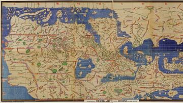
Tabula Rogeriana
Cite This Work
APA Style
Library, B. (2021, May 30). Psalter World Map. World History Encyclopedia. Retrieved from https://www.worldhistory.org/image/14126/psalter-world-map/
Chicago Style
Library, British. "Psalter World Map." World History Encyclopedia. Last modified May 30, 2021. https://www.worldhistory.org/image/14126/psalter-world-map/.
MLA Style
Library, British. "Psalter World Map." World History Encyclopedia. World History Encyclopedia, 30 May 2021. Web. 19 Apr 2024.