---
title: Historical Map of São Tomé
author: Johannes Vingboons
source: https://www.worldhistory.org/image/14115/historical-map-of-sao-tome/
format: machine-readable-alternate
updated: 1970-01-01
---
# Historical Map of São Tomé
_Authored by Johannes Vingboons_
## Image File
[](https://www.worldhistory.org/uploads/images/14115.jpg)
## Image Caption
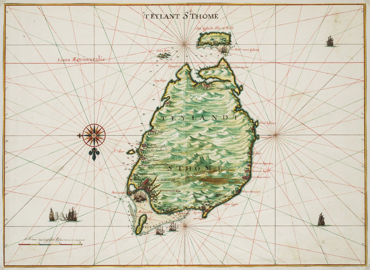
A 1665 map drawn by Johannes Vingboons of the island of São Tomé in the Gulf of Guinea in West [Africa](https://www.worldhistory.org/disambiguation/africa/). The island was a Portuguese colony from c. 1486 to 1975. (National Archives of the Netherlands)
## Cite This Work
### APA
Vingboons, J. (2021, May 27). Historical Map of São Tomé. *World History Encyclopedia*.
### Chicago
Vingboons, Johannes. "Historical Map of São Tomé." *World History Encyclopedia*, May 27, 2021. .
### MLA
Vingboons, Johannes. "Historical Map of São Tomé." *World History Encyclopedia*, 27 May 2021, .
## License & Copyright
[Original image](https://en.wikipedia.org/wiki/File:Johannes_Vingboons_-_%27t_eylant_St._Thome_(1665).jpg) by [**Johannes Vingboons**](https://en.wikipedia.org/wiki/File:Johannes_Vingboons_-_%27t_eylant_St._Thome_(1665).jpg). Submitted by [Mark Cartwright](https://www.worldhistory.org/user/markzcartwright/ "User Page: Mark Cartwright"), published on 27 May 2021. The copyright holder has published this content under the following license: [Public Domain](http://en.wikipedia.org/wiki/Public_domain). This item is in the public domain, and can be used, copied, and modified without any restrictions. Please note that content linked from this page may have different licensing terms.