
Illustration
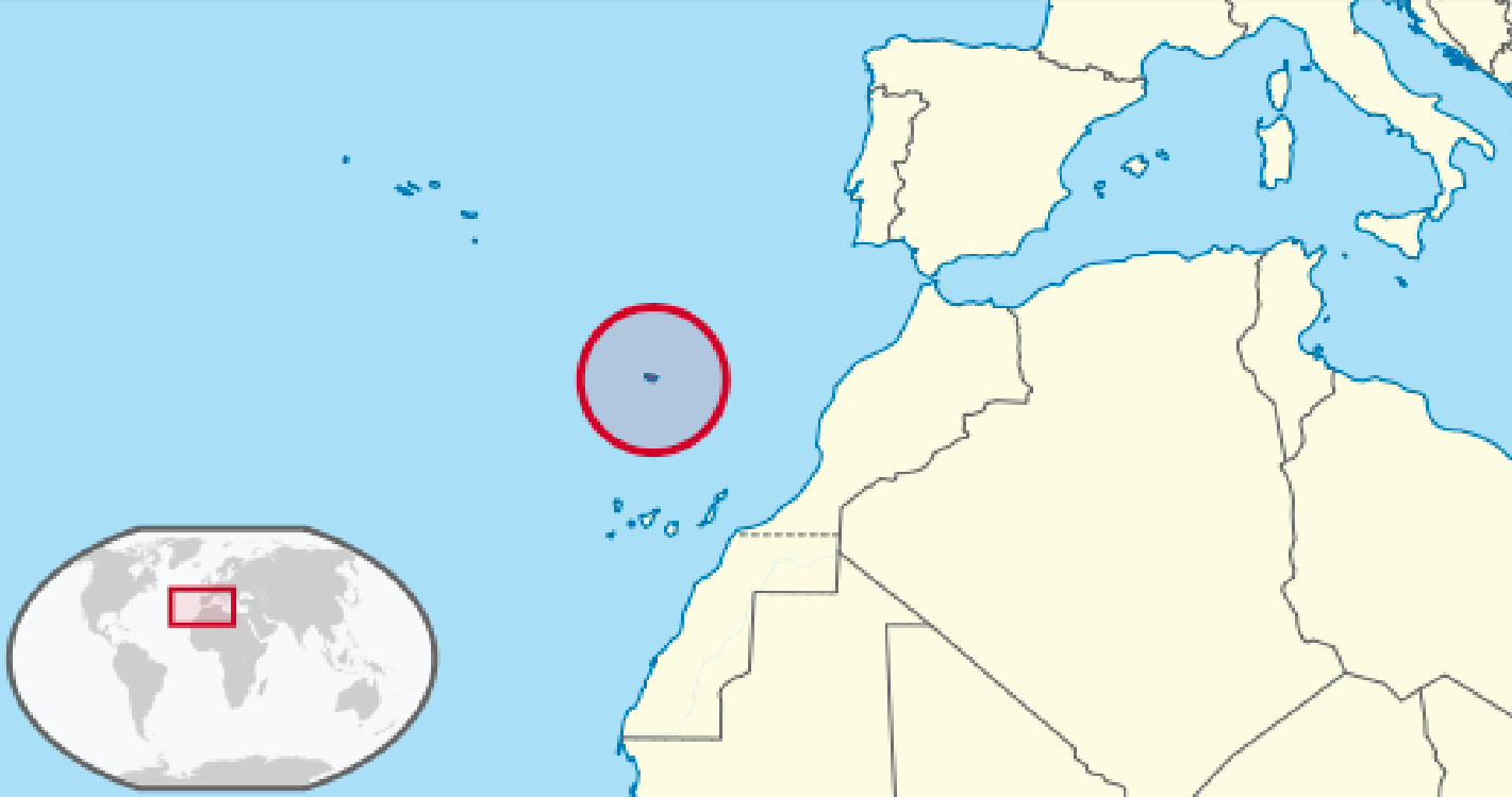
A map showing the location of the Madeira archipelago in the North Atlantic. Uninhabited but colonized by the Portuguese in the 15th century, the islands are now an autonomous region of Portugal.
License & Copyright
 Based on Wikipedia content that has been reviewed, edited, and republished.
Original image by TUBS. Uploaded by Mark Cartwright, published on 20 May 2021. The copyright holder has published this content under the following license: Creative Commons Attribution-ShareAlike. This license lets others remix, tweak, and build upon a work even for commercial reasons, as long as they credit the author and license their new creations under the identical terms. When republishing on the web a hyperlink back to the original content source URL must be included. Please note that content linked from this page may have different licensing terms.
Based on Wikipedia content that has been reviewed, edited, and republished.
Original image by TUBS. Uploaded by Mark Cartwright, published on 20 May 2021. The copyright holder has published this content under the following license: Creative Commons Attribution-ShareAlike. This license lets others remix, tweak, and build upon a work even for commercial reasons, as long as they credit the author and license their new creations under the identical terms. When republishing on the web a hyperlink back to the original content source URL must be included. Please note that content linked from this page may have different licensing terms.
Related Images
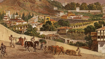
Madeira Landscape by Karl Briullov

A Glass of Madeira Wine
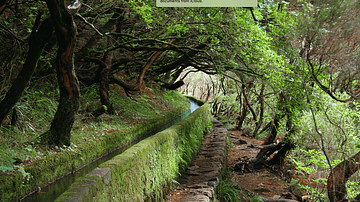
Levada Aqueduct, Madeira
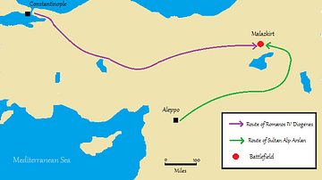
Location Map of the Battle of Manzikert, 1071 CE
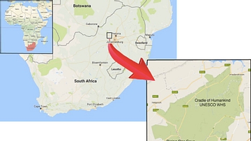
Rising Star Cave Location Map

Chart of the Malay Archipelago and the Dutch Discoveries in Australia
Cite This Work
APA Style
TUBS, . (2021, May 20). Map Showing the Location of the Madeira Archipelago. World History Encyclopedia. Retrieved from https://www.worldhistory.org/image/14055/map-showing-the-location-of-the-madeira-archipelag/
Chicago Style
TUBS, . "Map Showing the Location of the Madeira Archipelago." World History Encyclopedia. Last modified May 20, 2021. https://www.worldhistory.org/image/14055/map-showing-the-location-of-the-madeira-archipelag/.
MLA Style
TUBS, . "Map Showing the Location of the Madeira Archipelago." World History Encyclopedia. World History Encyclopedia, 20 May 2021. Web. 15 Apr 2024.