---
title: Map of the United States, 1874
author: D.G. Beers & Co.
source: https://www.worldhistory.org/image/13712/map-of-the-united-states-1874/
format: machine-readable-alternate
updated: 1970-01-01
---
# Map of the United States, 1874
_Authored by D.G. Beers & Co._
## Image File
[](https://www.worldhistory.org/uploads/images/13712.jpg)
## Image Caption
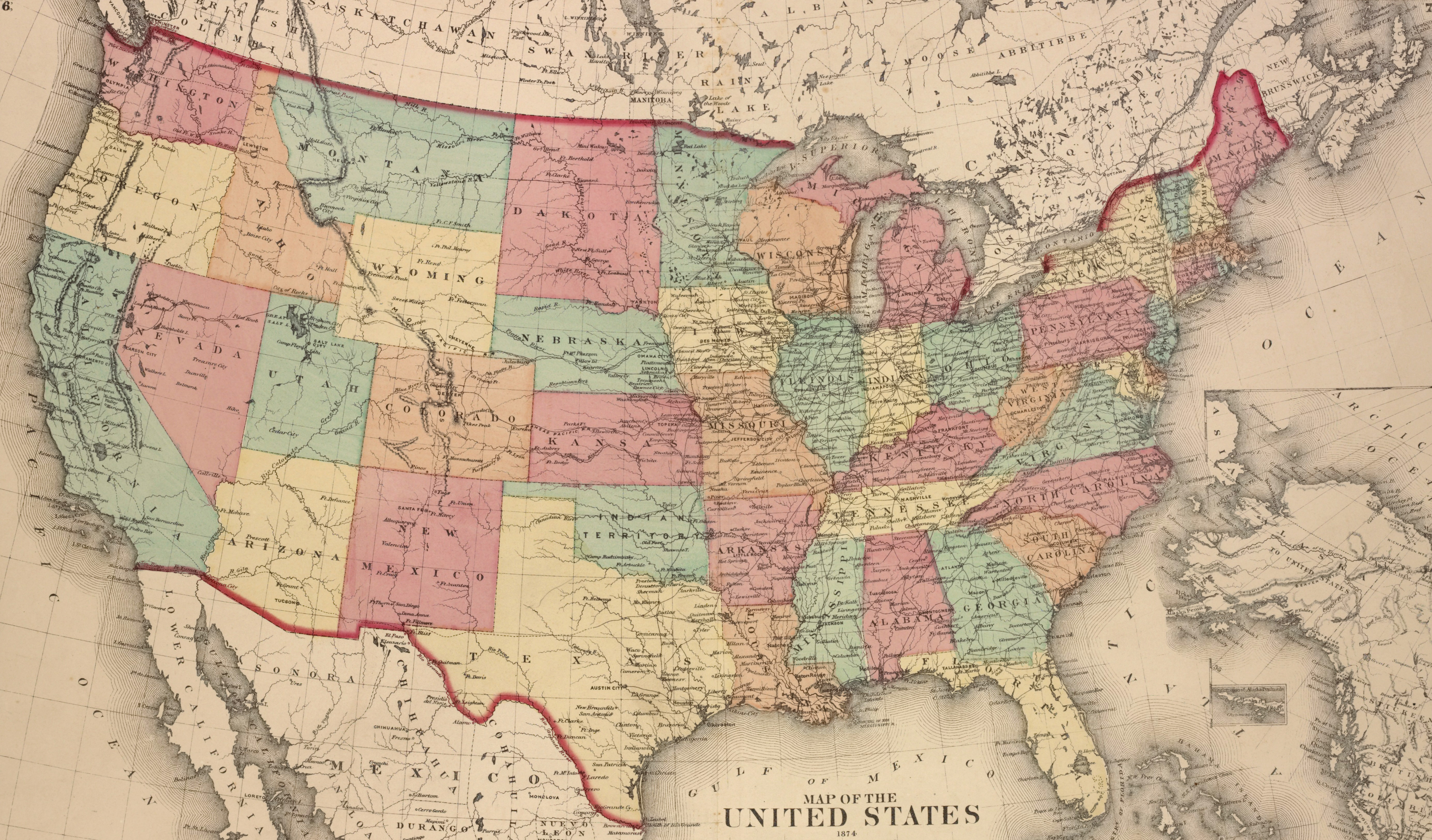
A map of the United States, showing each of its states, published by D.G. Beers & Co. in 1874.
From the Lionel Pincus and Princess Firyal Map Division, The New York Public Library.
## Cite This Work
### APA
Co., D. B. &. (2021, March 24). Map of the United States, 1874. *World History Encyclopedia*.
### Chicago
Co., D.G. Beers &. "Map of the United States, 1874." *World History Encyclopedia*, March 24, 2021. .
### MLA
Co., D.G. Beers &. "Map of the United States, 1874." *World History Encyclopedia*, 24 Mar 2021, .
## License & Copyright
[Original image](https://digitalcollections.nypl.org/items/510d47e3-b0d7-a3d9-e040-e00a18064a99) by **D.G. Beers & Co.**. Submitted by [Jan van der Crabben](https://www.worldhistory.org/user/jvdc/ "User Page: Jan van der Crabben"), published on 24 March 2021. The copyright holder has published this content under the following license: [Public Domain](http://en.wikipedia.org/wiki/Public_domain). This item is in the public domain, and can be used, copied, and modified without any restrictions. Please note that content linked from this page may have different licensing terms.