
Illustration
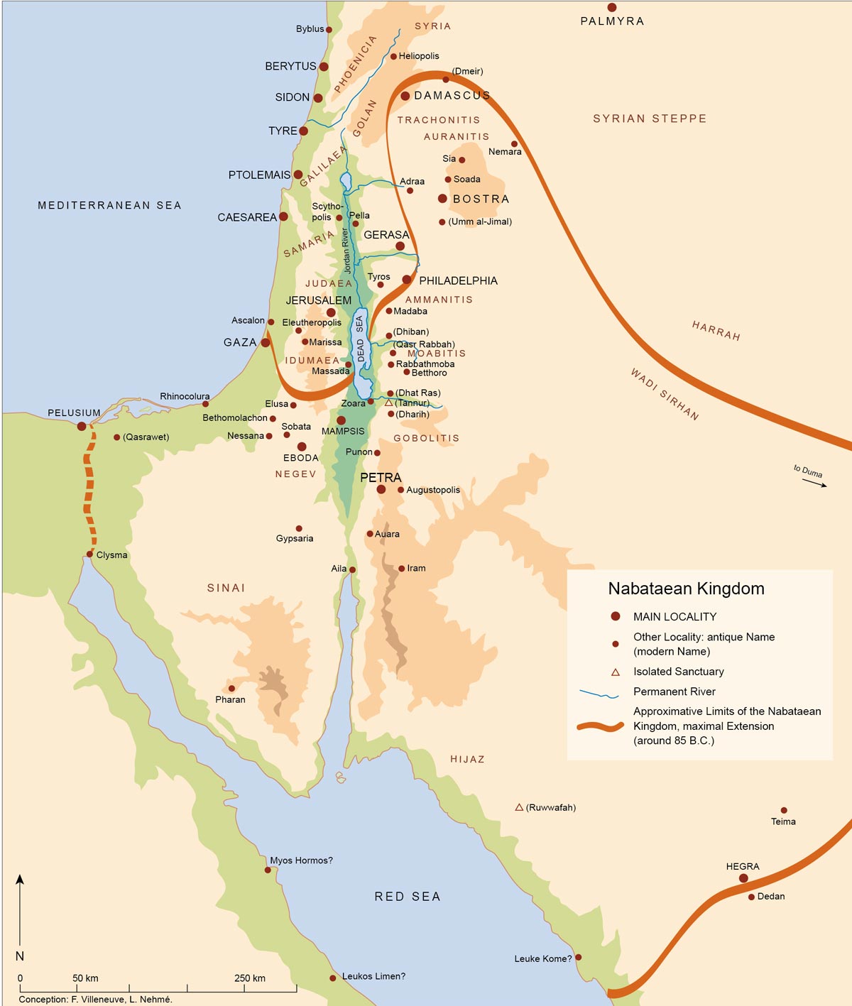
Map of the Nabatean Kingdom at its greatest extent, c. 85 BCE.
License & Copyright
 Based on Wikipedia content that has been reviewed, edited, and republished.
Original image by Villeneuve Nehme. Uploaded by Arienne King, published on 20 March 2021. The copyright holder has published this content under the following license: Creative Commons Attribution-ShareAlike. This license lets others remix, tweak, and build upon a work even for commercial reasons, as long as they credit the author and license their new creations under the identical terms. When republishing on the web a hyperlink back to the original content source URL must be included. Please note that content linked from this page may have different licensing terms.
Based on Wikipedia content that has been reviewed, edited, and republished.
Original image by Villeneuve Nehme. Uploaded by Arienne King, published on 20 March 2021. The copyright holder has published this content under the following license: Creative Commons Attribution-ShareAlike. This license lets others remix, tweak, and build upon a work even for commercial reasons, as long as they credit the author and license their new creations under the identical terms. When republishing on the web a hyperlink back to the original content source URL must be included. Please note that content linked from this page may have different licensing terms.
Related Images
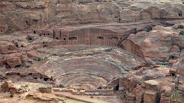
Theatre of Petra

The Treasury of Petra From Above
Transatlantic Triangular Trade Map
Polynesian Migration Map
Battle of Brandywine Map
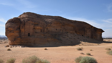
Jabal al-Ahmar Necropolis in Hegra
Cite This Work
APA Style
Nehme, V. (2021, March 20). Map of the Nabatean Kingdom. World History Encyclopedia. Retrieved from https://www.worldhistory.org/image/13692/map-of-the-nabatean-kingdom/
Chicago Style
Nehme, Villeneuve. "Map of the Nabatean Kingdom." World History Encyclopedia. Last modified March 20, 2021. https://www.worldhistory.org/image/13692/map-of-the-nabatean-kingdom/.
MLA Style
Nehme, Villeneuve. "Map of the Nabatean Kingdom." World History Encyclopedia. World History Encyclopedia, 20 Mar 2021. Web. 25 Apr 2024.